Exploring the Gakona Glacier

I spend a considerable amount of my time exploring the Alaska Range, specifically focusing on the Delta Mountains—a subrange located south of Delta Junction and accessible via the Richardson Highway. This area is geologically classified as the Mount Kimball-Mount Gakona Segment, which measures approximately 100x60 km in area. The Richardson Highway bounds it to the west, the Alaska Highway to the north, and the Tok Cutoff to the south and west.
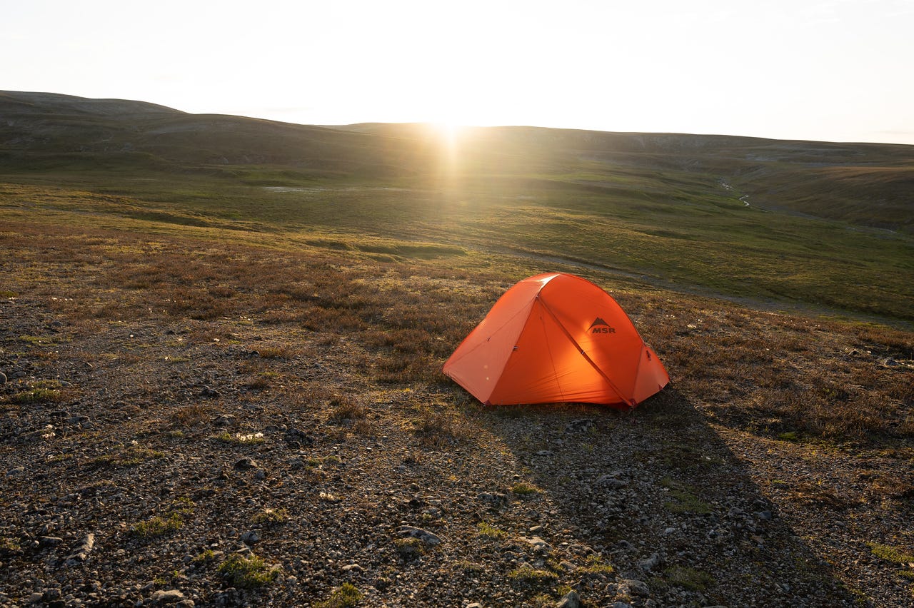
The most frequently visited locales are reachable from the Richardson Highway, offering quick access to the Castner, Canwell, and Gulkana Glaciers, along with numerous creek drainages and ridges. Over the next few years, I plan to explore some of the less accessible areas of this region. Last week, I undertook a three-day expedition to one of its largest glaciers: Gakona Glacier.
Initially, I planned to dedicate roughly five days to exploration, allocating about three days specifically to the glacier. This would allow me ample time to investigate not only the upper expanses of the unnamed ice field that feeds the Gakona Glacier but also an intriguing feature I had noticed on a 2017 satellite image via Google Earth.

Unfortunately, incoming heavy precipitation cut the trip short by two days, leaving only one day to investigate the glacier. Deciding that the enormous break in the ice was probably the more interesting area, after setting up camp on the lateral moraine on the second night, I headed down glacier.
The collapse of this section of the glacier was much more extensive than the 2017 satellite image showed.
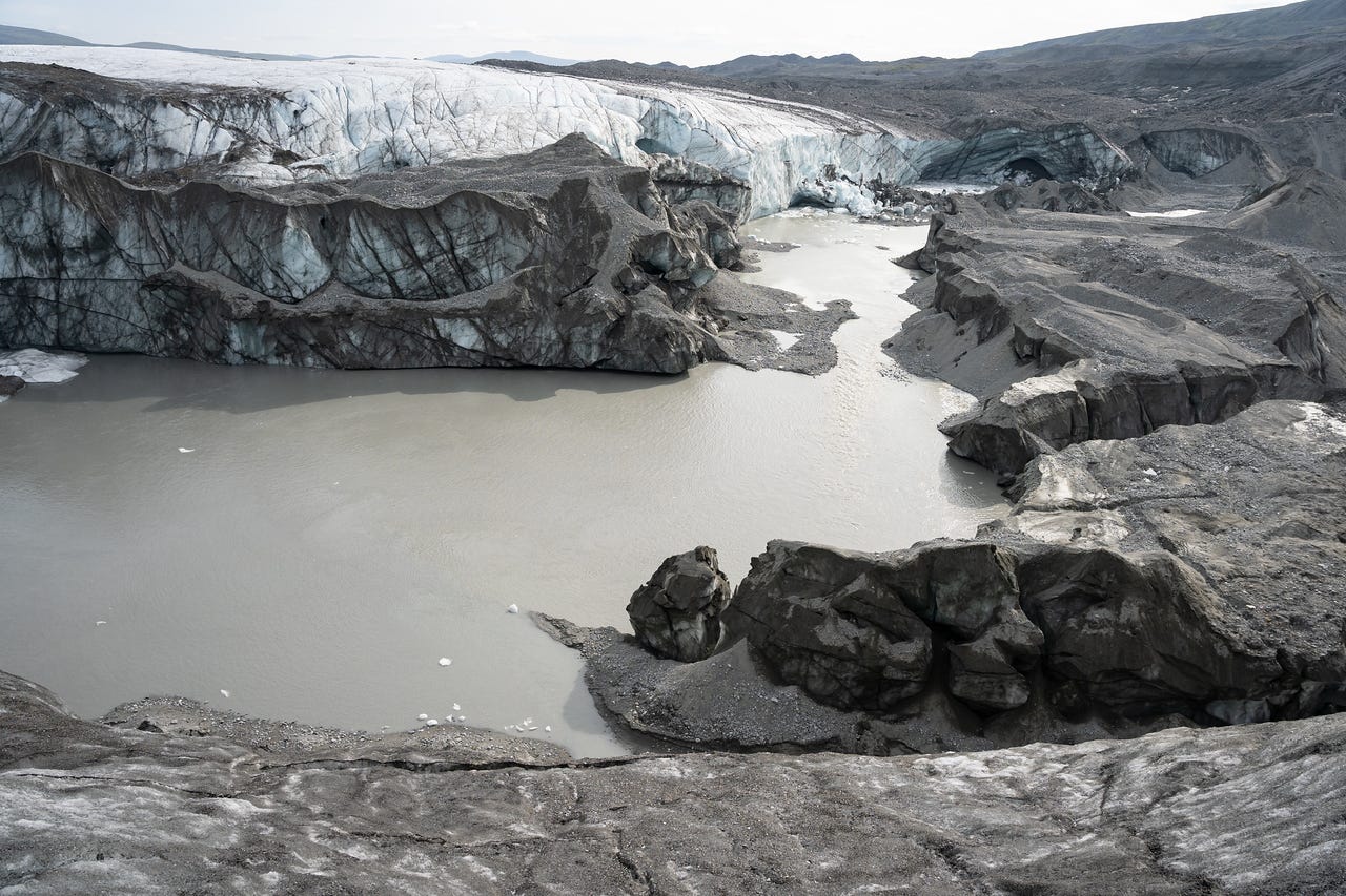
As it turns out, this channel has effectively dissected the glacier, isolating the terminus ice from the active trunk of the glacier. Since ice from upstream regions is no longer contributing to this ablation zone, the rate of thinning at the terminus is likely to accelerate. So, what's happening here?
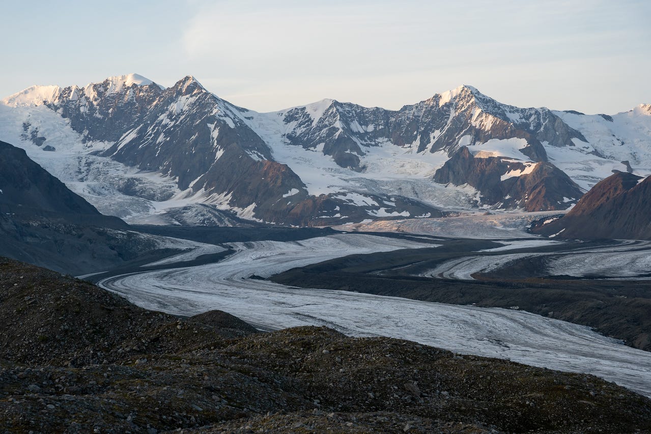
This channel originates from the meltwater of adjacent glaciers, once tributaries to the larger Gakona Glacier. In the past, this watercourse would have functioned entirely as a subglacial channel. However, once these smaller glaciers became disconnected from Gakona's main trunk, the meltwater stream persisted. Now, instead of flowing beneath the ice, the water emerges from the upper glaciers and joins the main body of Gakona Glacier midway along its lower expanse.
The following aerial perspective captured by Austin Post in September 1977 showcases these two glaciers in their earlier stages. The glacier on the left has retreated more than a mile since this photograph, halving its distance to the Gakona. Observe the central outflow stream and its convergence with the main trunk of the Gakona. This confluence is pivotal in the unusual formation I alluded to earlier.
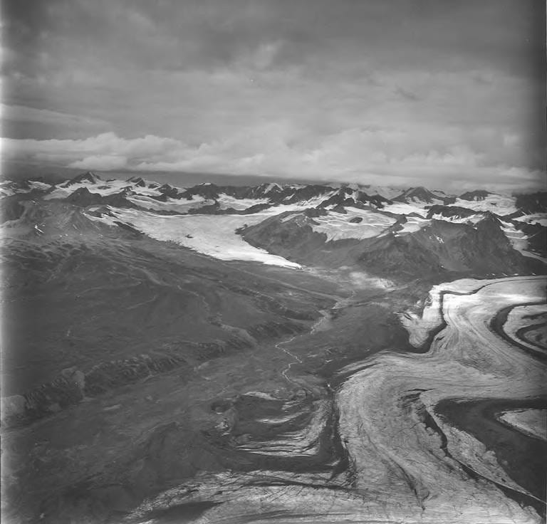
In the past, as shown in the 1977 image, the stream seamlessly integrated into Gakona's subglacial channels, eventually resurfacing in the glacier's lower sections. The alteration in this behavior can be attributed to significant ice thinning in these lower areas, which was apparent by simply comparing my GPS elevation with the USGS topographic elevation.
While CalTopo, my platform for accessing the USGS map, doesn’t readily display the edition used for a given area, further investigation led me to believe I was referencing a 1970s edition derived from a 1955 survey. A comparison of the glacier surface elevation from my recent GPS data with that from the 1955-edition USGS topo revealed a stark discrepancy: the glacier surface now sits at an elevation approximately 165 m (or 540 feet) lower than previously indicated on the map.
The glacier’s reduction equates to a thinning rate of roughly 8 feet per year at this specific location since 1955. It’s essential to note that this is a ballpark estimate derived from comparing data from a USGS topo map with readings from a handheld hiking GPS. However, the figure is within a plausible range. For context, the nearby Gulkana Glacier experienced an average thinning rate of 0.31 m per year (approximately 1 foot per year) from 1974 to 1993. This rate increased to 0.96 m per year (around 3.14 feet per year) between 1993 and 1999 (Cox 2017). Given this data, it’s not implausible to expect even greater thinning at a single point situated deep within the glacier’s ablation area.
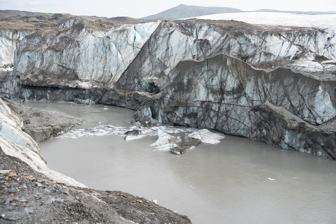
Given the significant thinning, it becomes evident that the glacier’s reduced mass has tipped the balance. Now, in the contest between the massive Gakona and the meltwater streams from neighboring glaciers, the stream has finally claimed victory. It’s sad to think that that entire chunk of glacier south of the channel is essentially dead ice now, no longer moving with or fed from the glacier above, just left to melt over the coming years.
If you would like to read more about this trip, the area, and this feature, check out my article Gakona Glacier – Hike Info and August 2023 Trip Report