
Getting Steep
Day 2 At Hatcher Pass

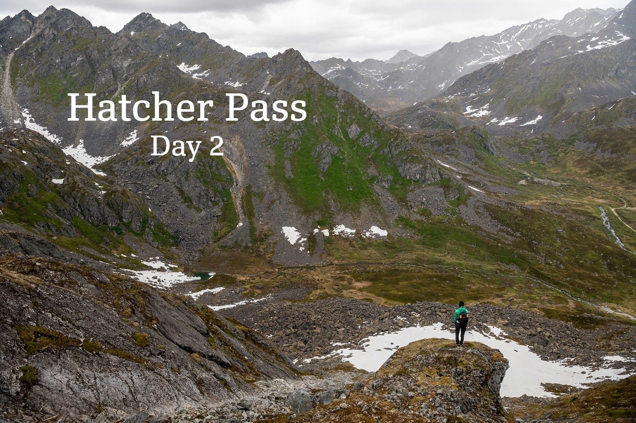
I woke up after my first night in Hatcher, somewhat well-rested. I don’t know… I don’t really sleep much. Someday that’s going to catch up to me, right? The night before was kind of perfect: a relaxing walk with Cassidy and Astra in the mountains, lots of wildflowers to photograph, a fantastic sunset. Then I unzipped the tent to this.
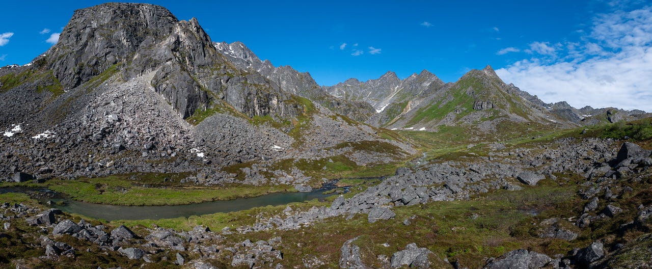
I ate a minimal breakfast. Most of this trip I had been struggling with a lack of appetite, something that has been happening with me hiking and backpacking the last few years. I don’t know quite how to describe the feeling. Something like: a feeling close to melancholy, but at the same time relaxed and calm. It might have something to do with my brain calming down a bit when outdoors. Regardless, I snacked on some granola and cashews before the group left to climb for the morning.
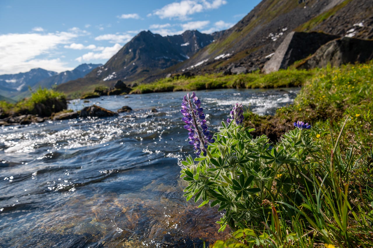
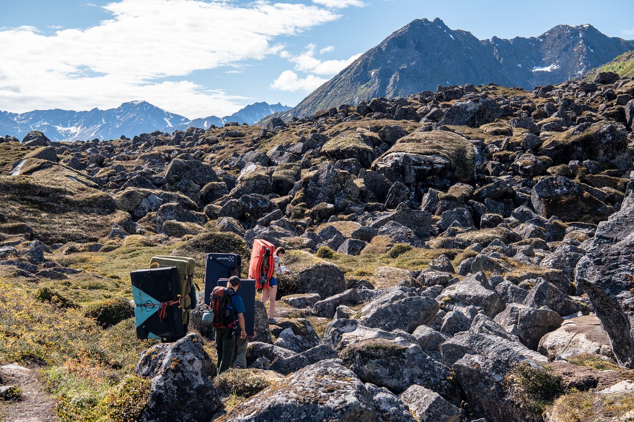
It was a short walk beyond Archangel Creek to their first climb, Captain Jack, a V4. The ‘kids’ went through the pre-climb routine that they’ve been doing for years before getting on the rock. I’m glad we’ve spent so much time stressing the importance of warming up properly for injury prevention. It’s something I don’t see many other climbers doing while I’ve been working at the climbing gym
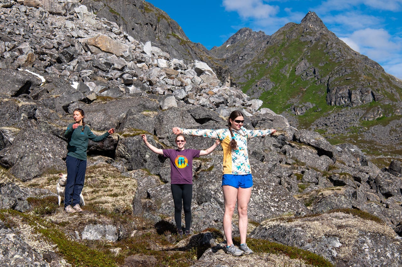
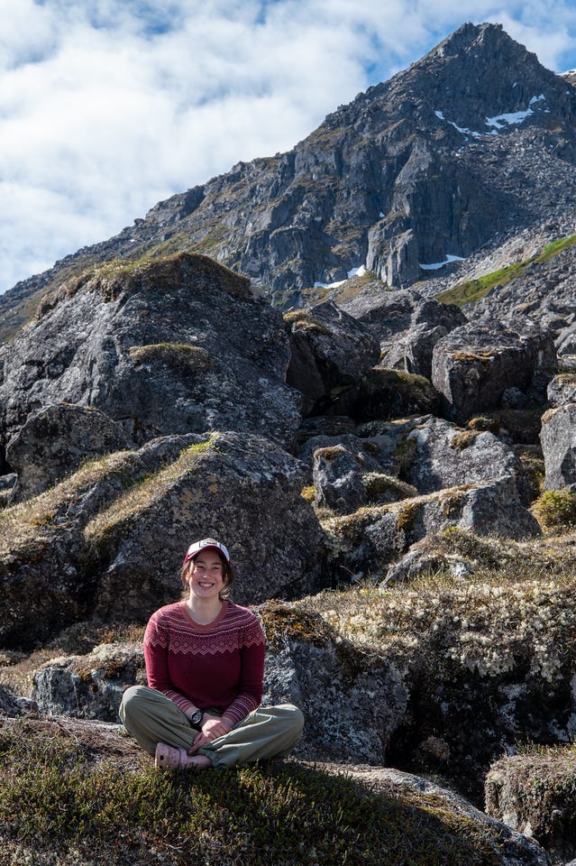
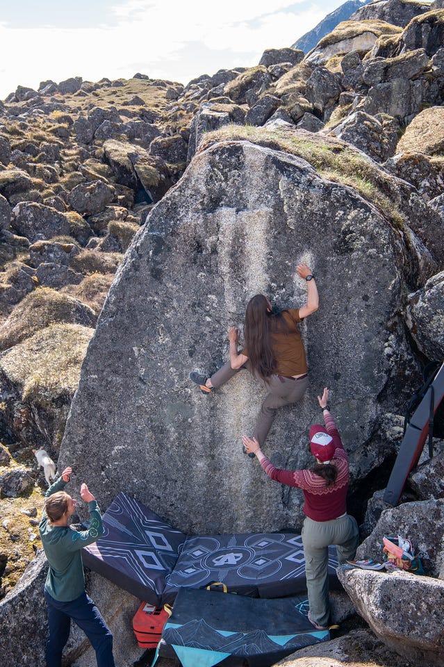
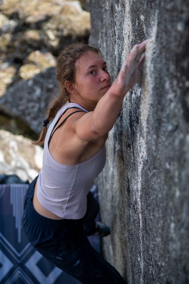
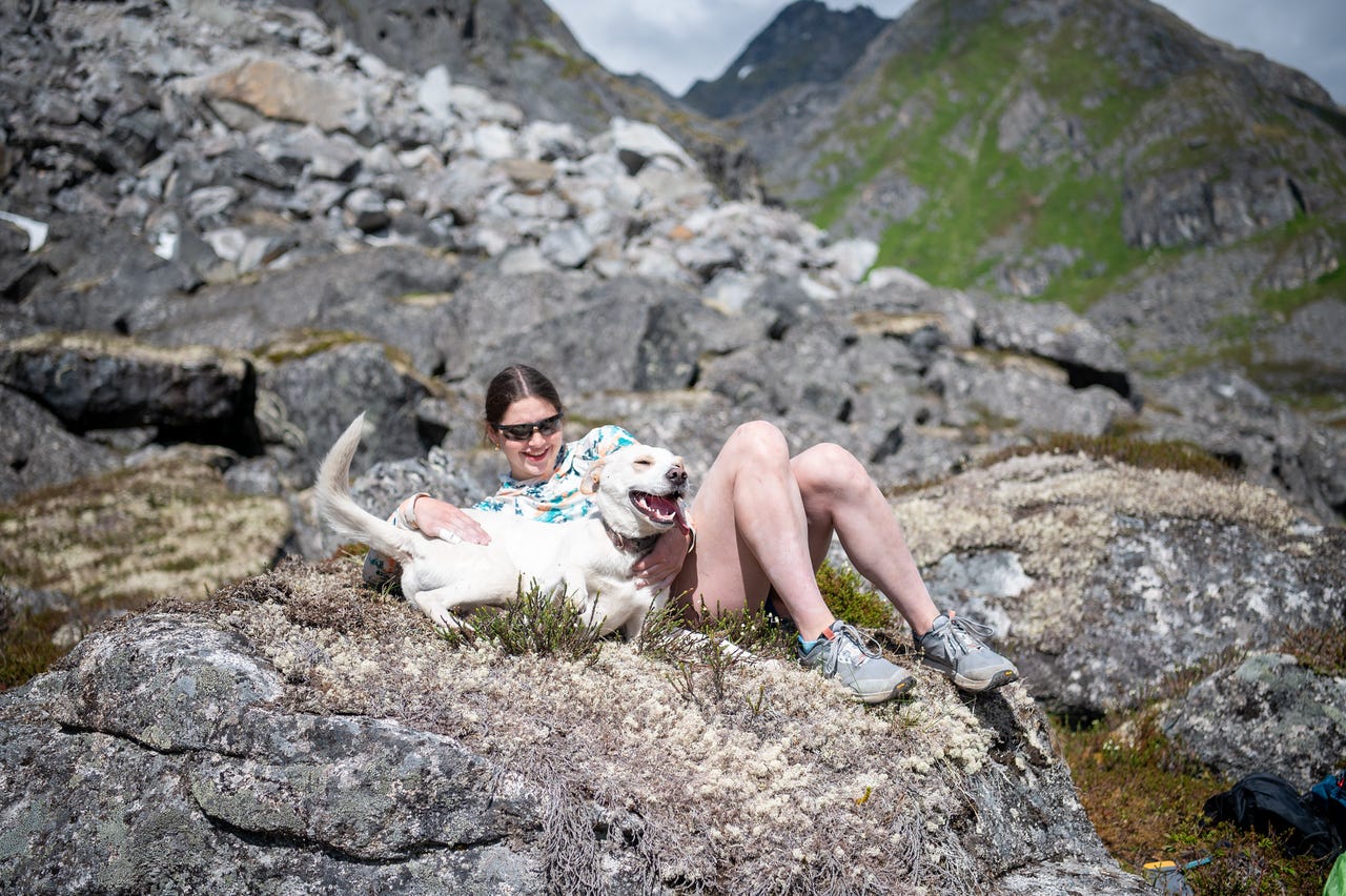
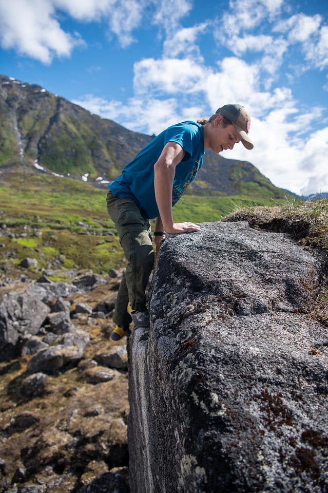
After an hour or so, the group moved up the hill a little to try another route that we had gotten on last year. It was nice hanging out in the sun. I snacked some more and took more photos of the kids climbing for a while. There was some sadness in the back of my chest that I wasn’t climbing, even though I simultaneously didn’t really want to climb.
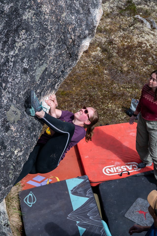
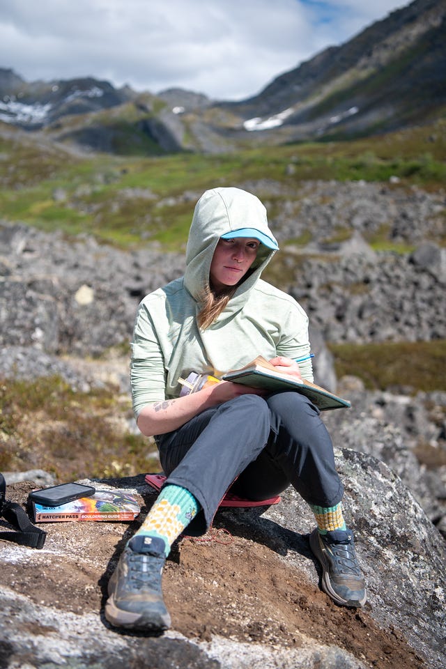
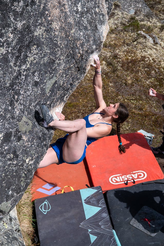
Cassidy and I had plans to hike, though. No what or where yet, just somewhere in the area. While they climbed, I spent some time on the GPS looking for something interesting nearby. We chatted for a bit and decided to explore uphill from where the group was climbing. From the USGS topo, it looked like there might be a pass we could use to cross over and drop into the adjacent Fairangel Valley, which could make for an interesting loop back to camp.
We planned with the group to possibly meet up in Fairangel Valley, where there were some climbs near where Cassidy and I had walked the previous night. We said goodbye and started up the talus slope.
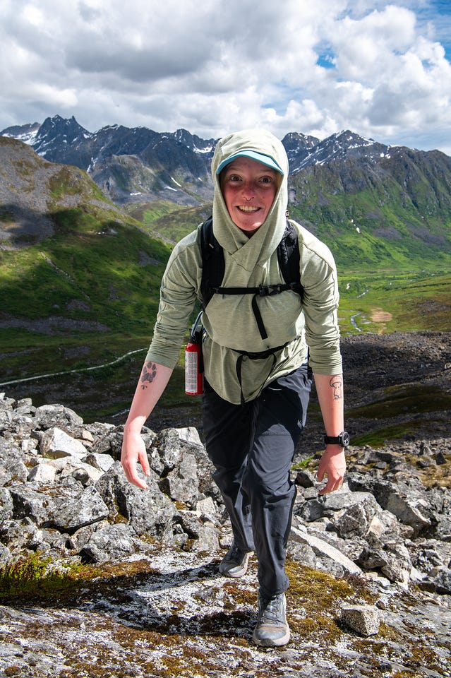
Cassidy led the way. It was steep. Way steeper than it looked from below. Half the time it felt as if I was looking straight up at her.
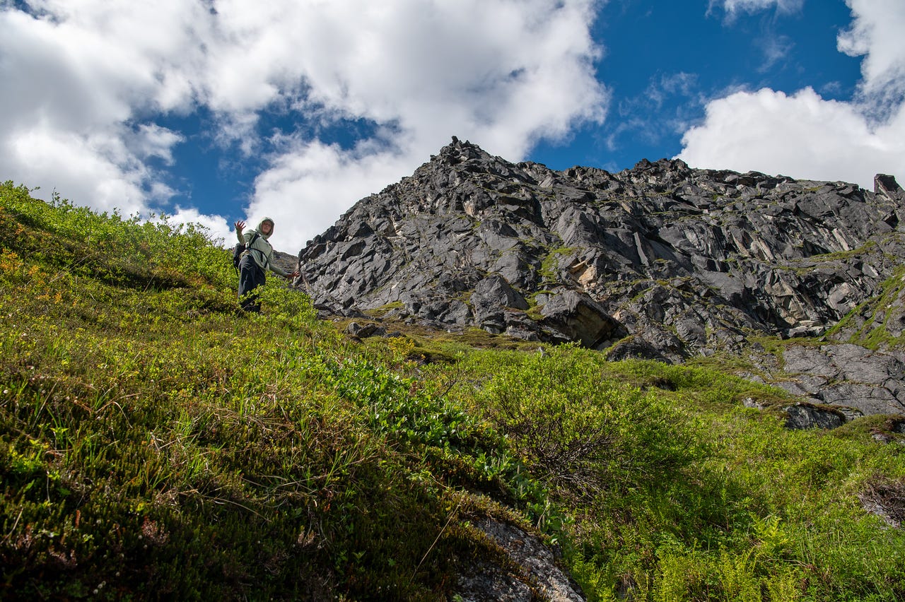
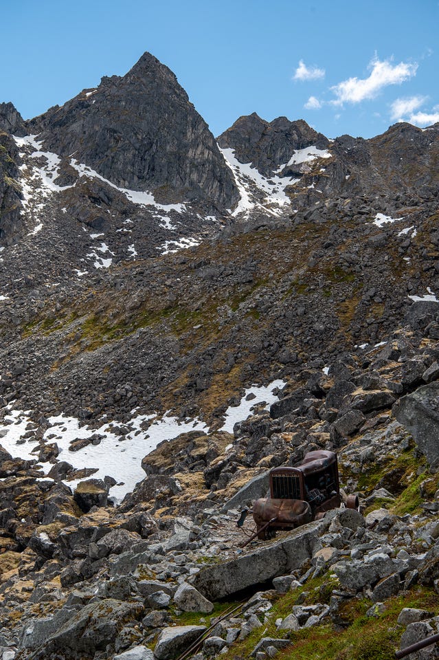
Passing some old mines and mining equipment, we made a detour to scramble up into a rocky slab side valley. We didn’t get too far up before deciding the risk wasn’t worth the reward and continued up the talus sidehill a little further. It wasn’t long before we found a more agreeable path with less mangling potential.
I had some concern for the clouds that were building over the mountains to the north and east. It looked dark in places, darker than a shower. The forecast had showers later in the day, but maybe they’d be coming early.
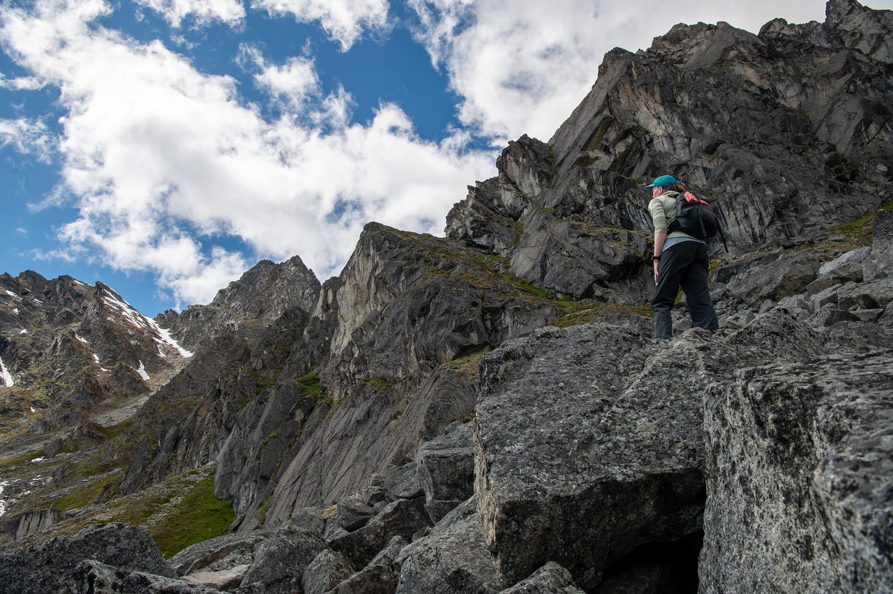
We stopped to talk before going the last bit. Partially wondering if we were just going to hit a false ‘summit’ that keeps going, or maybe the terrain would just drop off a cliff. We had no idea. Cassidy led us over. Pardon my language in the video below, but I was out of breath, and the view was…
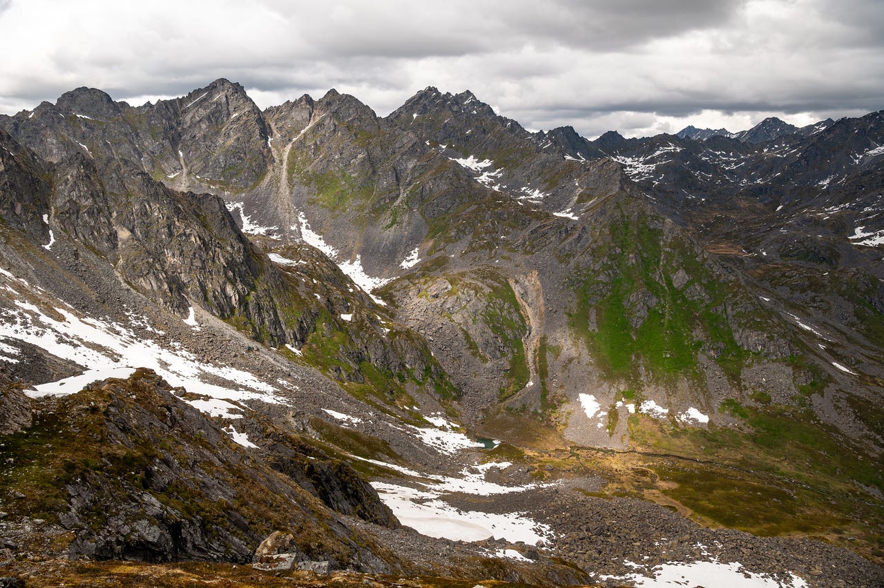
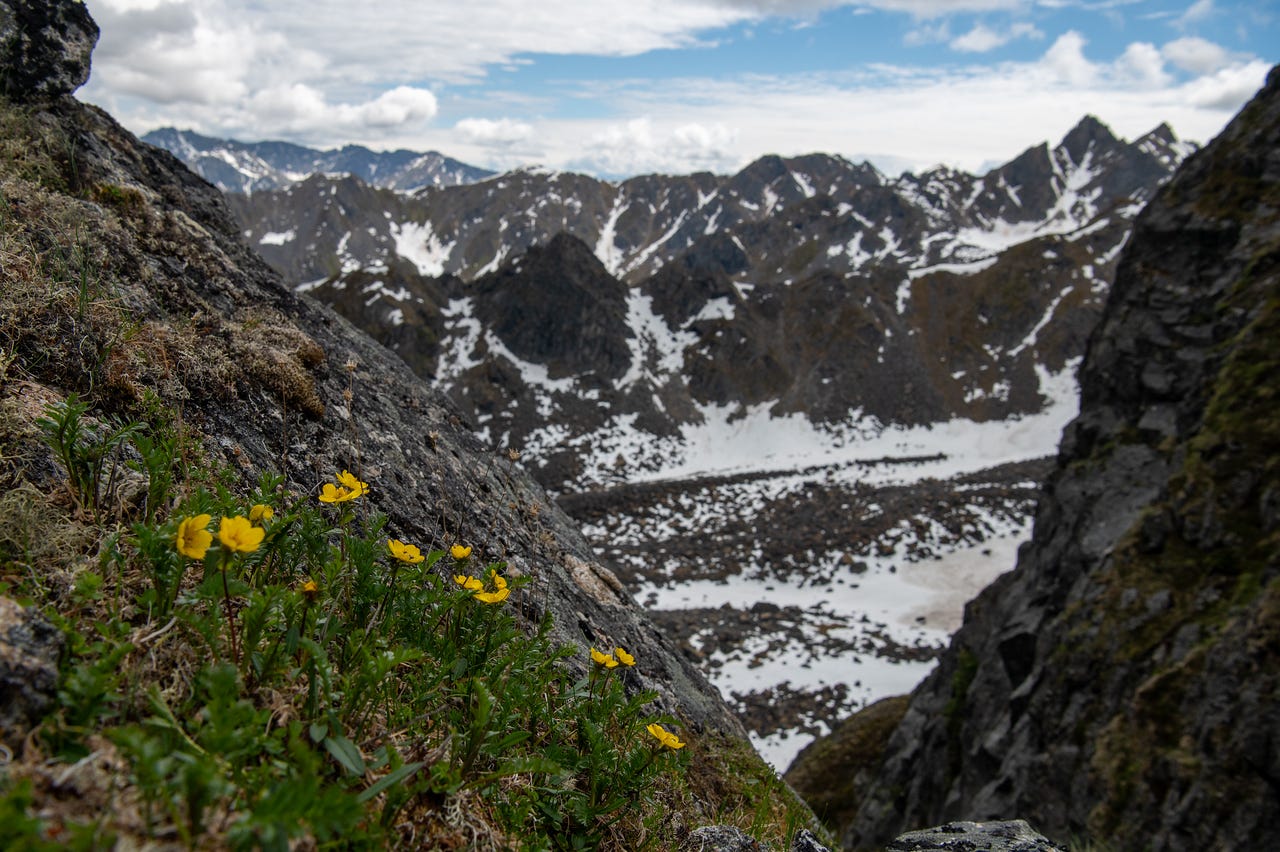
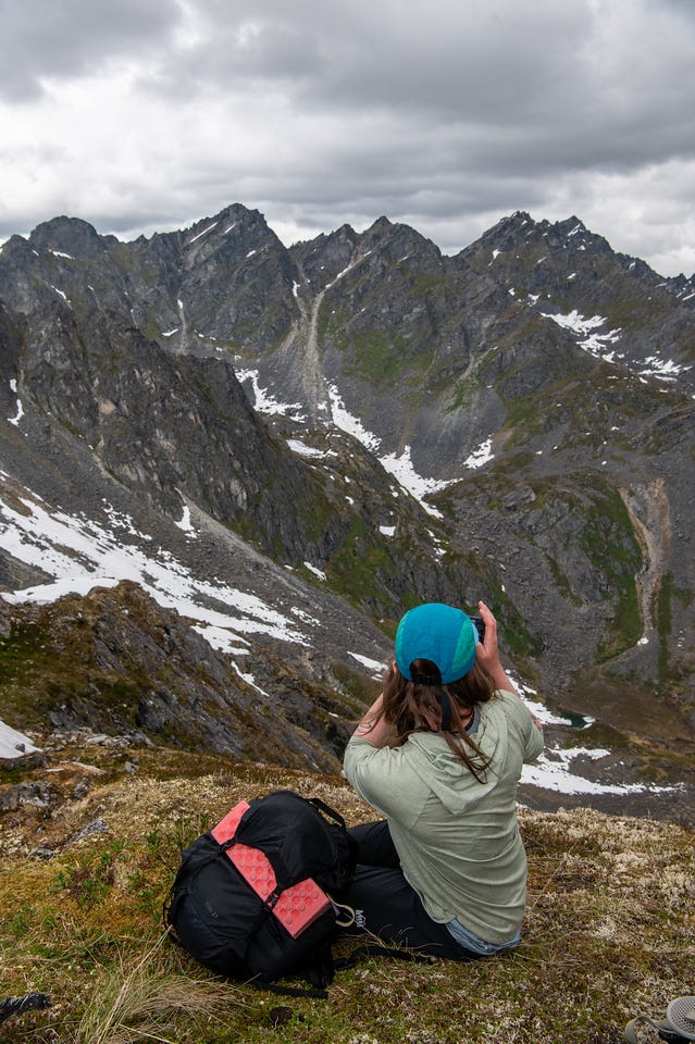
We had a decision to make, whether to attempt the descent that we knew nothing about and complete a loop, or to turn back the way we came. The sky told us that rain was inevitable. It would suck to get halfway down and need to climb back up in the rain. We stopped to rest anyway, so I scouted ahead to a small ledge to get a better view of what was beneath us.
We regrouped and talked it over. The pull of adventure into something new was outweighing the hesitation in both of us. So we went for it.
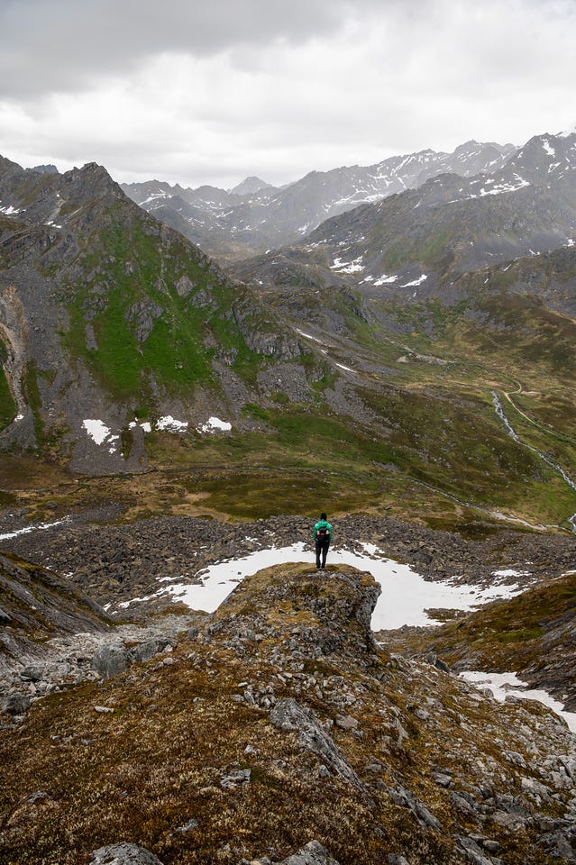
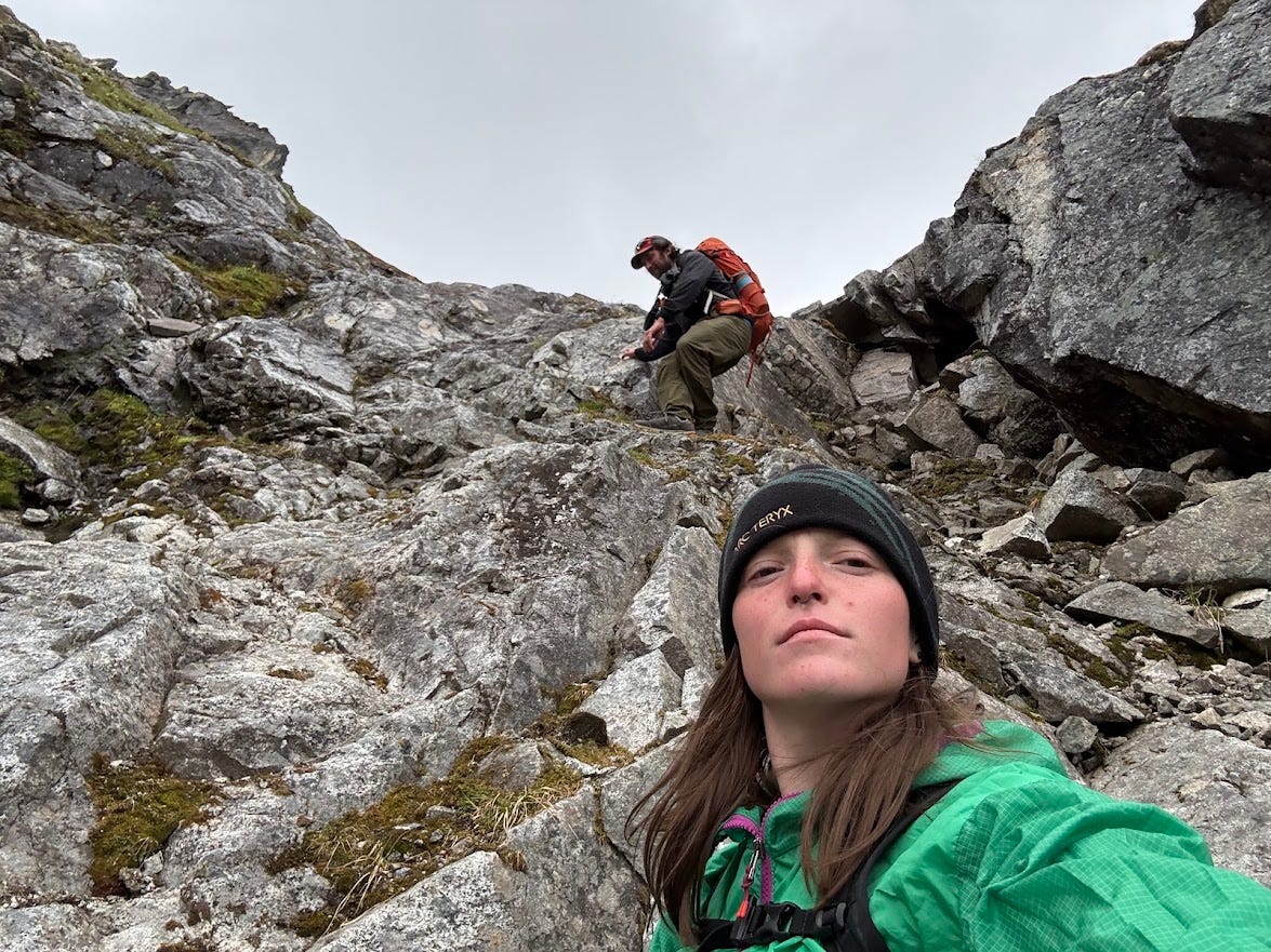
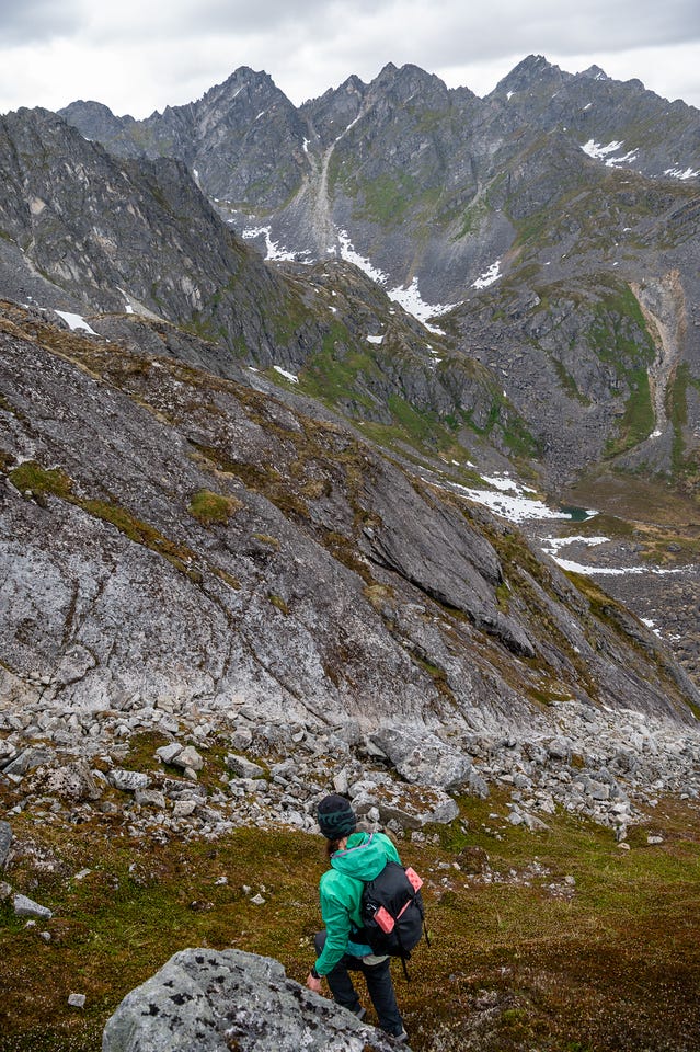
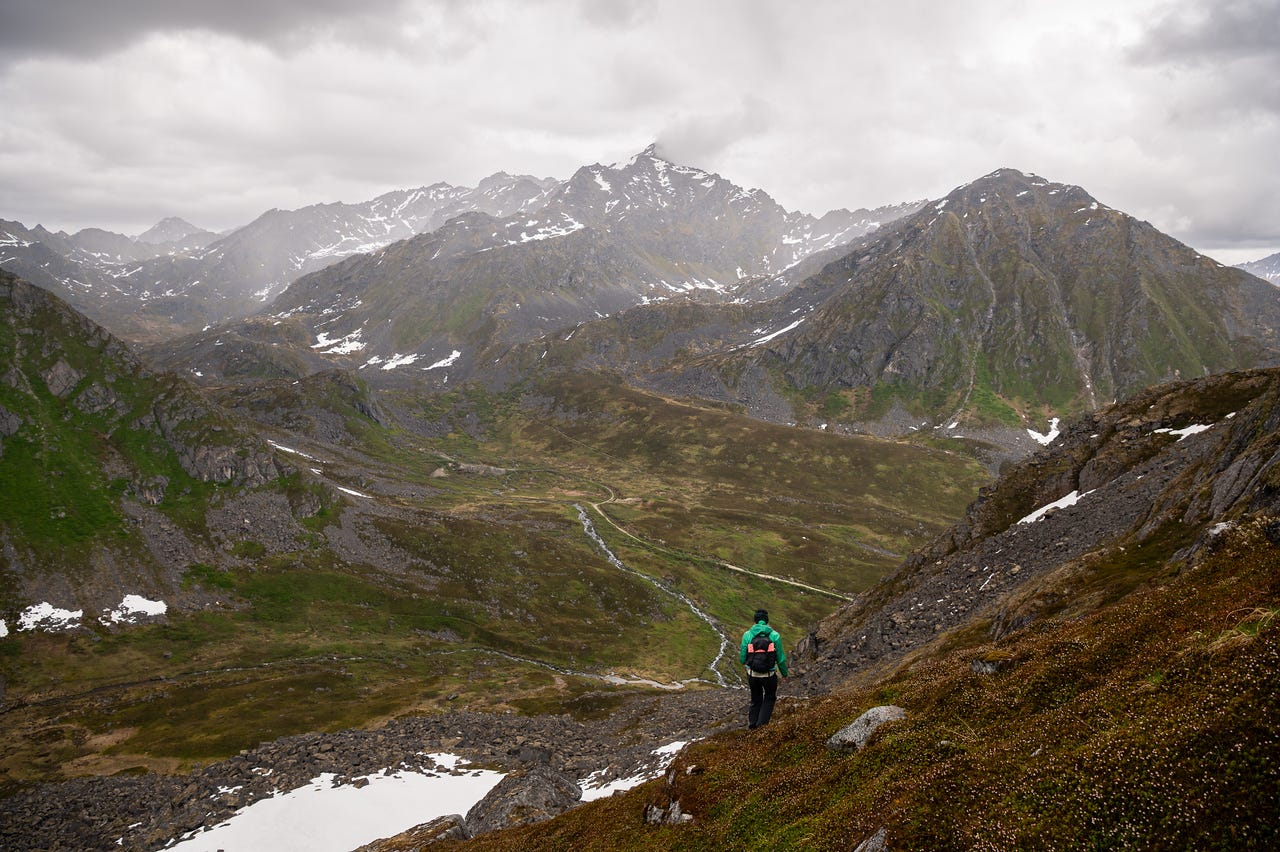
The rain became heavy when we hit the talus field below. The rock was slick, and navigation was tricky as the blocks were enormous and moss-covered. Eventually, we decided to try to sit it out for a bit. I’m not sure how long we stayed under the rock talking about all sorts of things, including the giant bolted boulder just up the snow from us
The rain tricked us. It let up a bit and looked like it was clearing. But we waited too long, and the downpour restarted. It was time to leave our shelter. I didn’t take any more photos for the rest of the day because I had to throw my camera in my pack, and it was raining too hard to use my phone.
Once out of the talus, we were able to return roughly on the path we had taken the day before. When we made it back to camp, the rest of the group was there, pads under the rainfly as they were trying to set up a second fly.
We both changed and dried off before the group got together to make dinner and play games under a tarp.
It was only about a 2.5-mile hike, with 1500 feet of elevation gain in the first mile. But the whole thing took us about 4 hours. We never knew what we were doing or where we were going, and it turned out to be one of the best day hikes I've ever done.