
Just Going Along
Three hikes, two mountain ranges, two hours of sleep

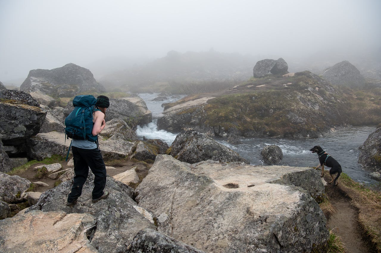
It started out as our third day in Hatcher Pass. It was July 3rd. It ended over 150 miles away, as the crow flies, in a different mountain range. But it didn’t really end. Three hikes blended into one. There was an anxiety attack.
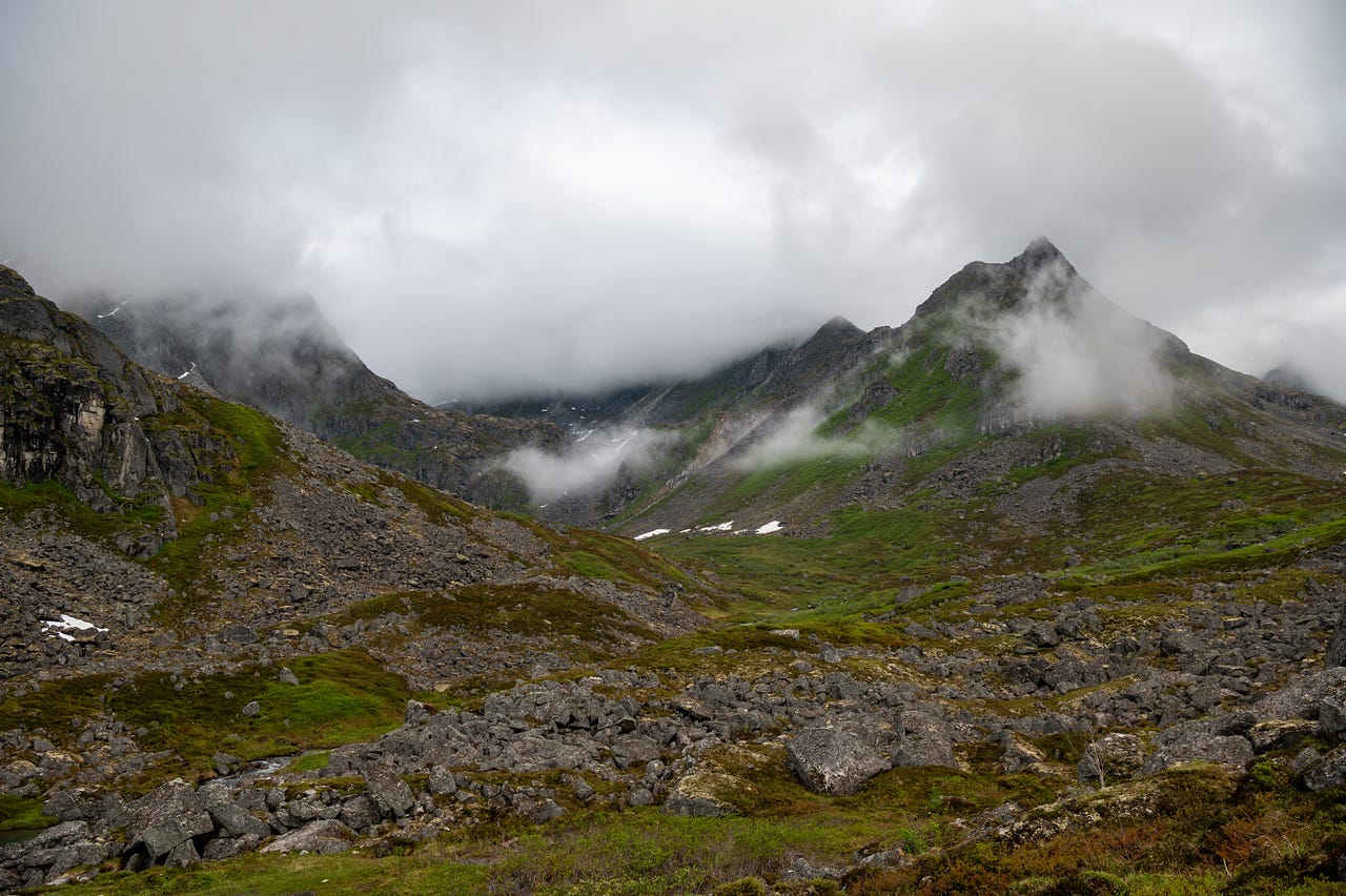
It was foggy and overcast in Archangel Valley. It rained heavily the previous day. The forecast had more rain coming in the evening, which was supposed to continue through the weekend, so we figured we'd be looking for bluer skies and drier rock when we were done here.
We got a later start than planned. But we also went our separate ways. Cassidy and I were on our way to the Reed Lakes Trail while the rest of the group went to climb.
We were already time-limited, having agreed to meet the group by 2 or 2:30. Sometime around then. And it was overcast. I didn't take many photos on the way up.
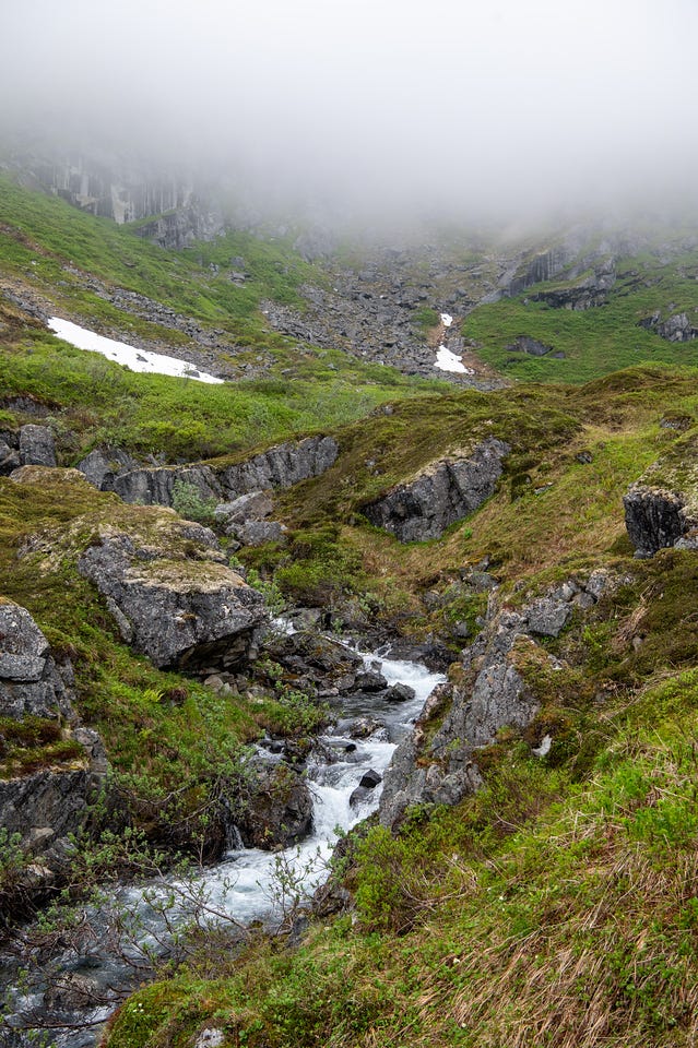
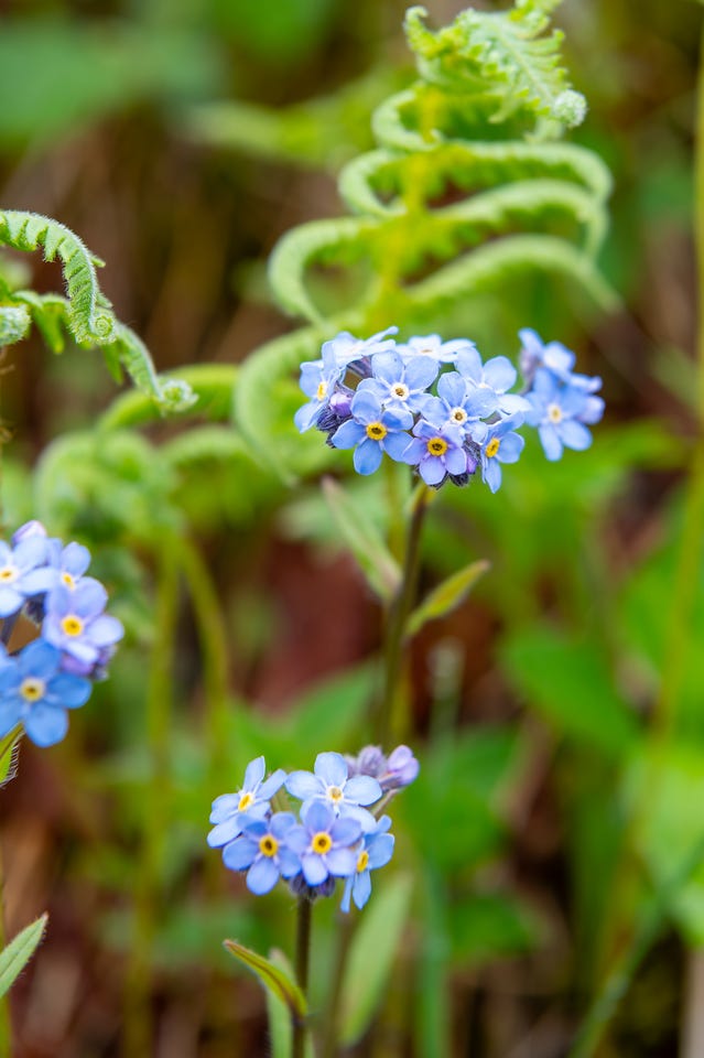
There were a lot of people on the trail. Not quite as many as there were on the Harding Icefield Trail earlier in the week, but still a lot.
Neither of us had hiked the Reed Lakes Trail. The description said a talus portion was not passable for dogs. Despite getting a little spooked early on, Astra did spectacularly, quickly scrambling across the boulderfield and up the creek.
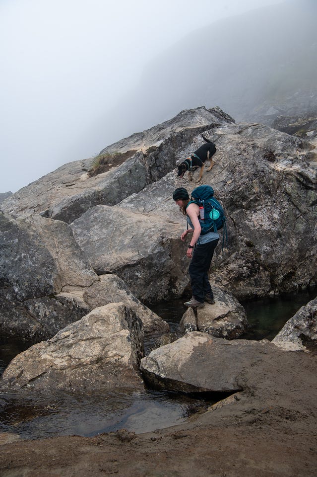
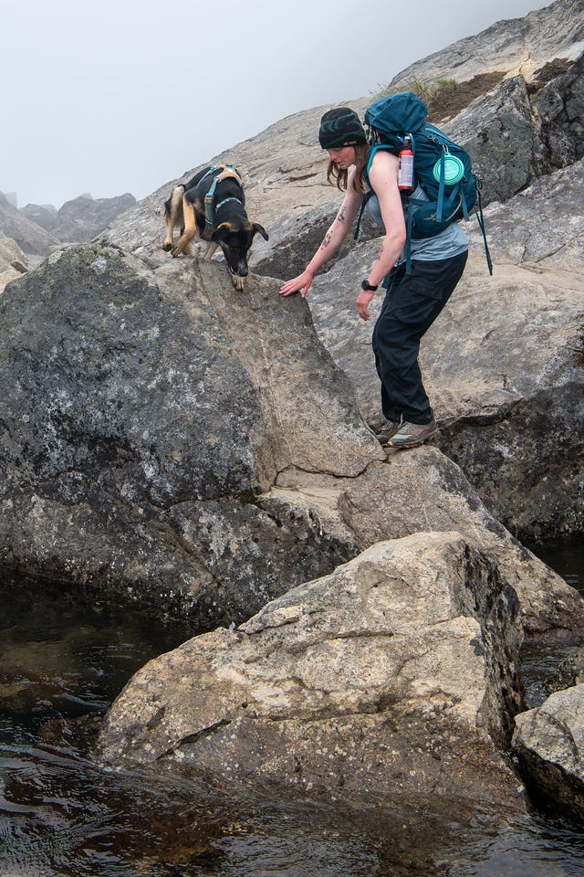
Beyond the talus we climbed into the cloud, running out of time and wondering if we were going to be able to go all the way up to the upper lake.
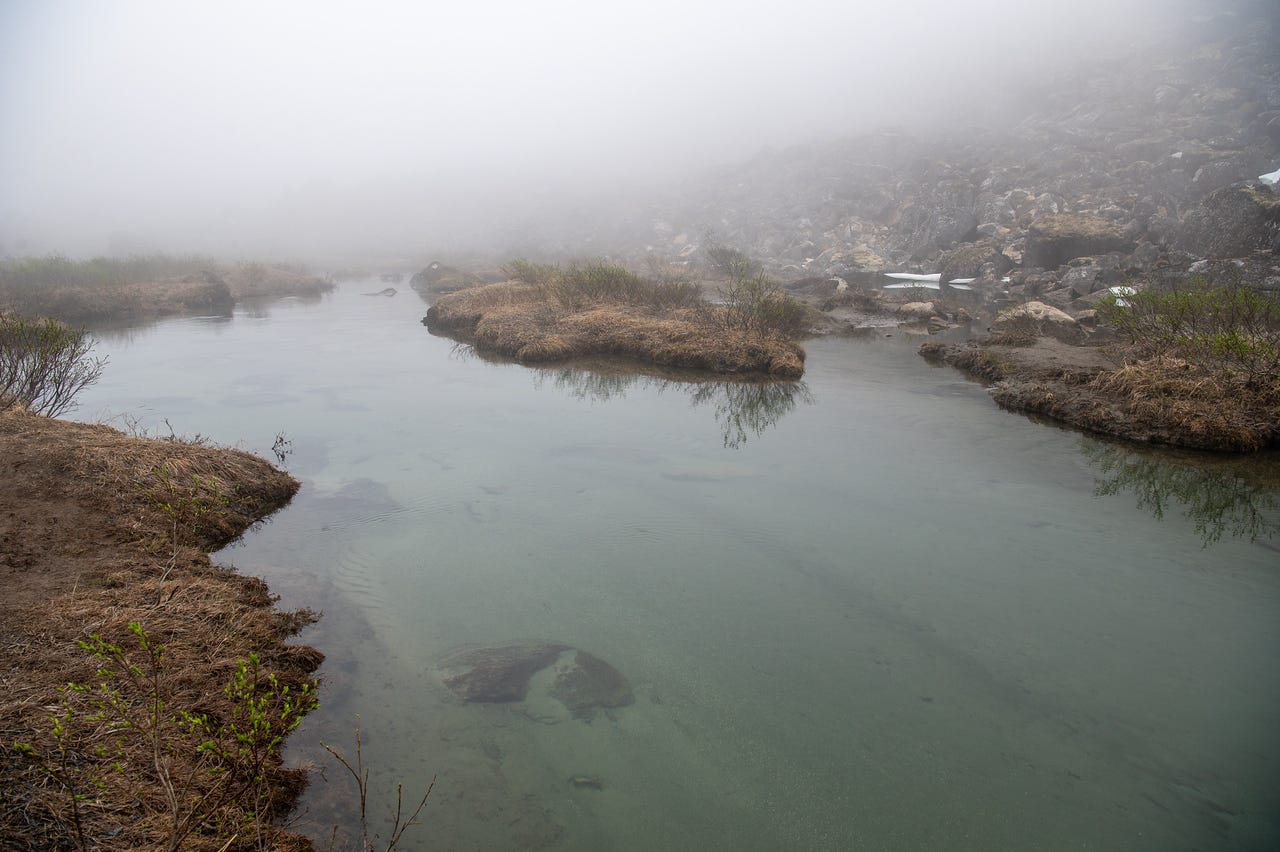
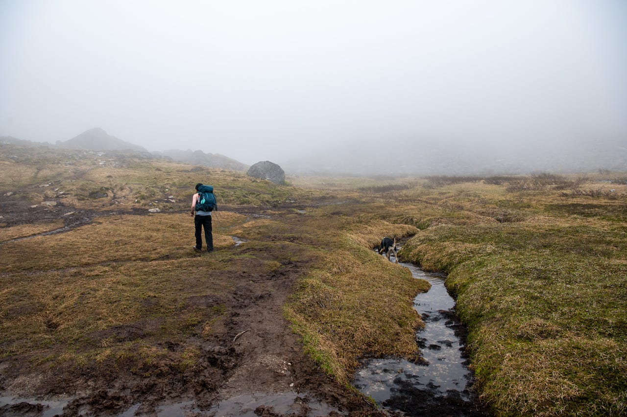
Lower Reed Lake was in the fog and mostly ice-covered. My anxiety was already elevated from all the passing on the way up, and the crowd scattered across the tundra spiked it more than I expected. I’m not a big fan of hiking around people, especially groups, and I hate leapfrogging. There are multiple parking areas for the trail, and ours was very full, so I had no way to do my usual count to prepare mentally for how many people we might encounter.
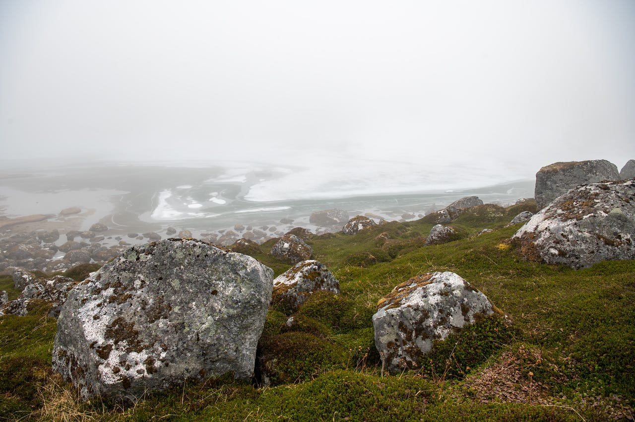
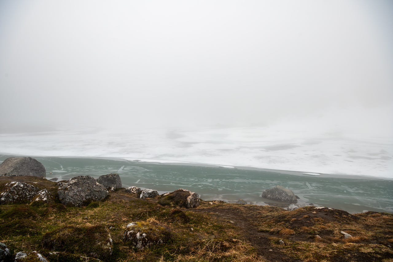
I’m still really friendly and courteous on the trail. Way more so than most of the people I encounter. It’s just that every interaction, every person we pass leaves a little wake of turbulence in my head.
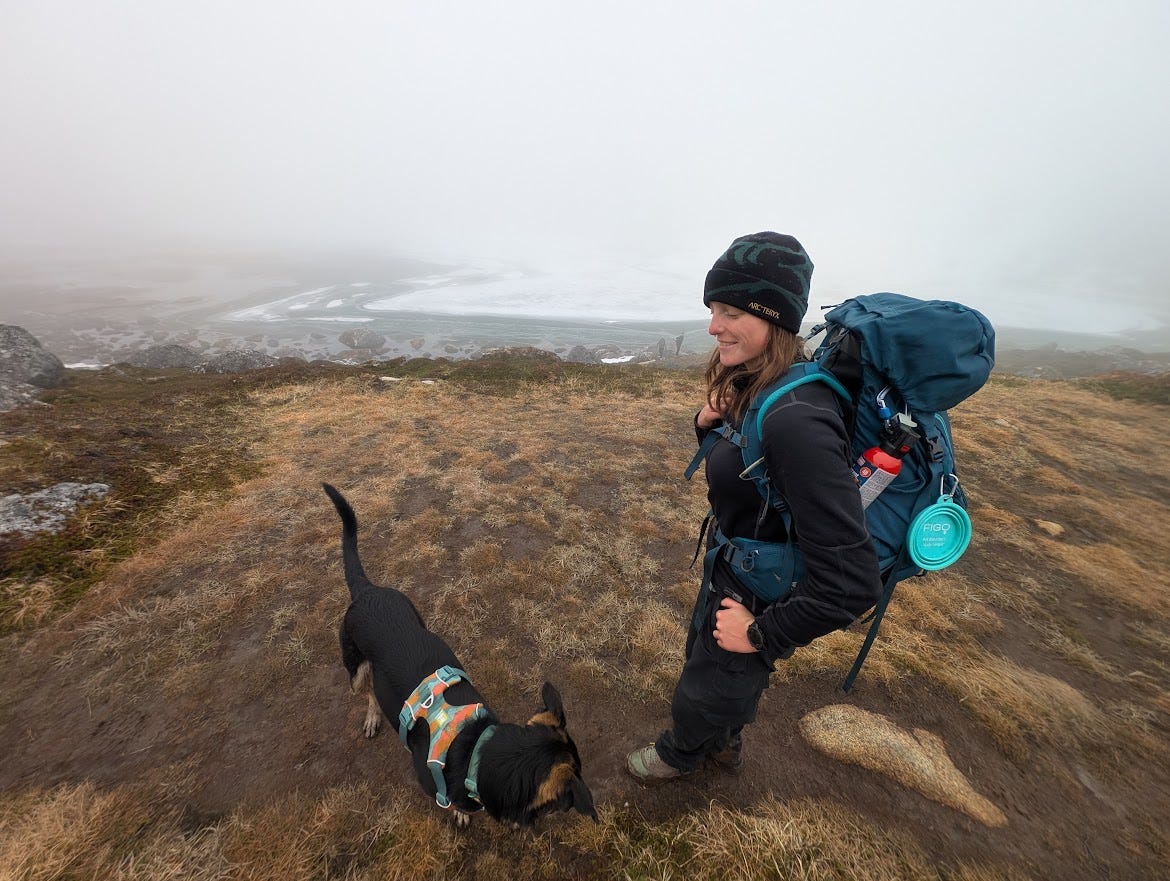
We'd hit the turnaround time we'd need to make it back to the group. We both wanted to keep going, and talked over whether the upper lake was worth being a little late. But the fog wasn't lifting, and we did want to get on the road. We turned around.
Backtracking, we got to the parking area shortly after 2 pm and drove back to camp to meet the group. My first 7.8 miles and 1,800 feet of elevation gain were behind me.
I'd been checking weather forecasts for the whole state for about a day, another version of the same anxiety-related counting. After striking camp, the caravan was off to the Deltas in the Eastern Alaska Range.
Hike 2: Overnight in the Rainbow Basin
Between the number of people on the Reed Lakes Trail and the close quarters with our group, my social battery was running low. I love all of them, have been working with them at the gym for years, but that doesn’t change my underlying social anxiety. I can fully handle a smaller dynamic; I was perfectly happy with Cassidy and Elliott, I had been riding with them this whole trip, and we were on day 8. But with the rest of the group added in, the turbulence in my head was building.
We shared music for much of the five-hour drive. While we had thoughts on where we might camp, there wasn’t a plan; we were just going to wing it based on where the weather looked the best.
Our first stop was near the Gulkana Glacier. There was a boulder nearby that no one in the group had climbed on before, though Cassidy and I had checked it out while hiking in June. The rock looked great. Of course, there is plenty of hiking in the area for those of us not wanting to climb. I liked the idea of staying here; there were great spots for tents, no one else was camped in the area, and it was already past 11 pm. But the group outnumbered me, and they wanted to find a spot in Red Rock Canyon. So we went back on the road.
By the time we got to Red Rock Canyon, it was past 11:30. On the way in, RVs filled the steep initial canyon. People were biking and running ATVs around the makeshift town. Continuing up the road, we found that most of the better camping spots, including the one Cassidy and I stayed at the previous month, were taken. We turned around and found a large open spot to stay.
Shortly after setting up camp, the fireworks started. My low social battery immediately dropped to zero. I don’t come out to the backcountry to hear fireworks. I’m well aware that this is a very popular off-roading spot, another reason I wasn’t keen to camp here on the Fourth of July weekend. We chose to be here, so I tried to make peace with it. But I was past my tipping point.
I packed my bag. I think at this point, everyone guessed I was going to go hiking; the anxiety was readable. Cassidy asked me to wake her and let her know when I returned. I agreed, and then started up the road.
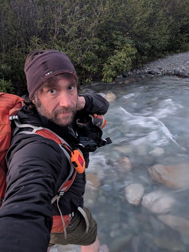
My mind was spinning, and it was getting a little dark (as dark as it gets in early July in Alaska), so I didn’t take many photos along the way. I hiked 4 miles up the road, taking a footpath nearby when possible. I kicked up a ptarmigan at the same spot we saw one three weeks ago. I remember wishing Cassidy was with me to see it.
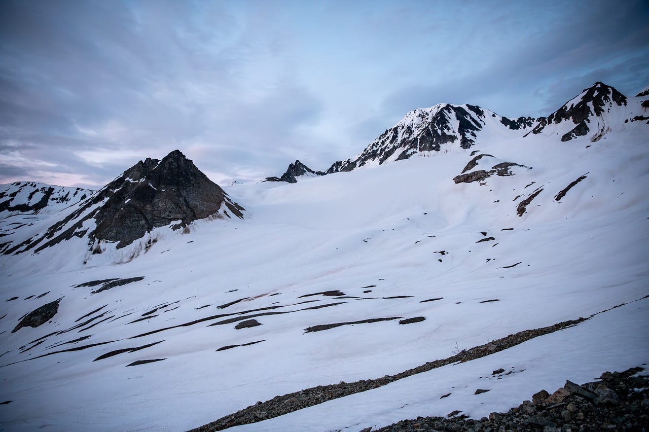
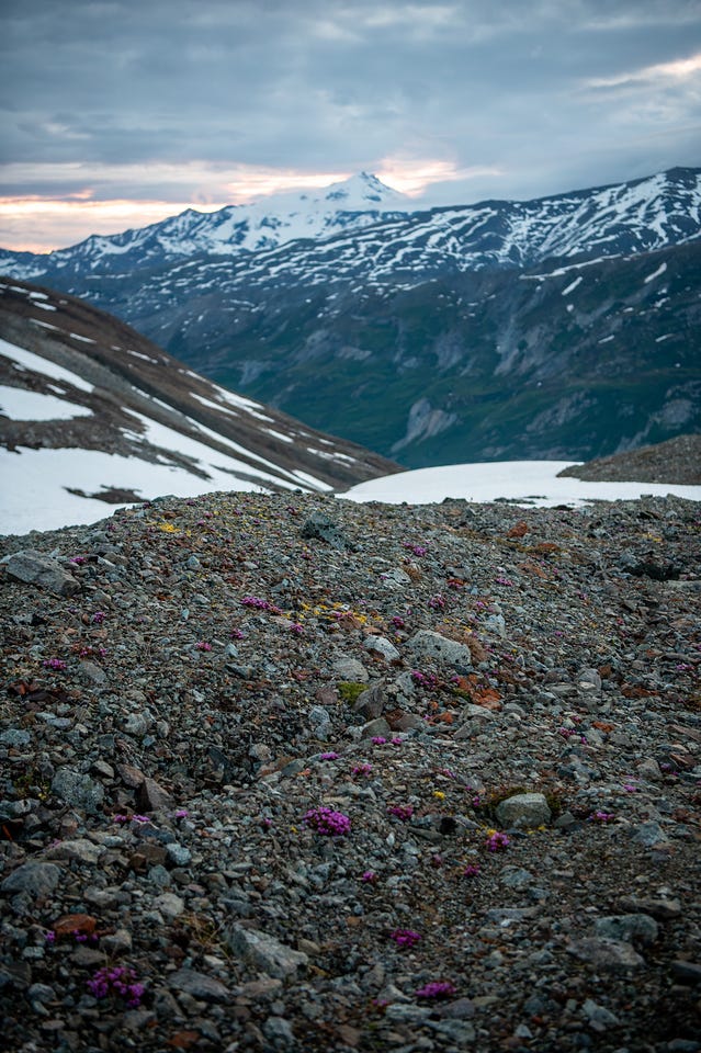
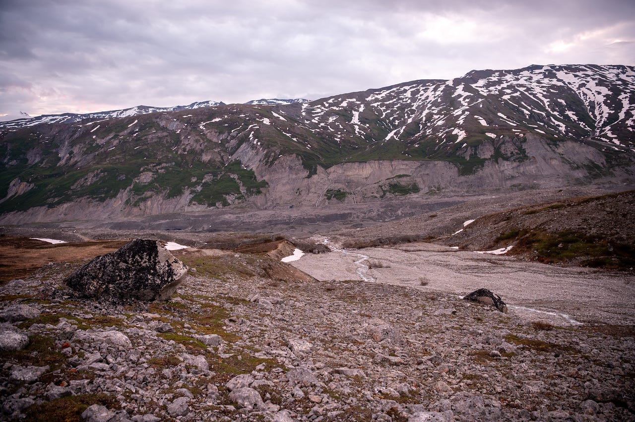
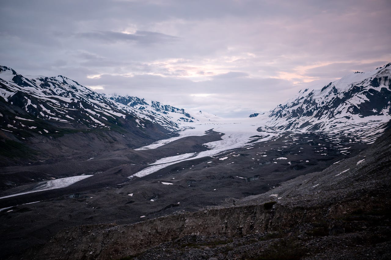
I turned uphill into the Rainbow Basin, the same hike I did as a solo overnight backpacking trip 8 years ago. By 3 am I was up in the snow at the head of the basin. The sun was already rising. I wanted to keep going. But I also didn’t want to be incapacitated by exhaustion the next day. I turned back. Head still spinning.
The video above shows the area with my narration about glaciers that once existed in this valley. I misspeak here and call the Canwell Glacier the Cantwell Glacier. The Cantwell Glacier is in Denali National Park.
I stopped by Cassidy and Elliott’s tent on the way back and tried to softly tell Cassidy that I was back and what time it was. I heard a little mumble, but not much response. At my tent, throwing my pack in the vestibule and untying my shoes, I wasn't sure she'd heard me. I’d promised to let her know when I was back. I walked back over and said a little louder, “Cassidy, I’m back.”
She responded, “ok, was the hike good?"
“Yes,” I replied.
“Did you say it was 5 am?”
“Yes.”
This brought my total distance to 19 miles and 3,800 feet of elevation gain. I had 2.5 hours to sleep before the group was waking up.
Hike 3: Gulkana Glacier
Waking up at 7:30, I wasn’t as tired as I had expected. I stayed in my sleeping bag until just before 8, when the group was supposed to be getting up. Everyone kind of pitter-pattered their way through breakfast. It was heavily overcast, but not raining. I set a timer for Lacey eating her bagel.
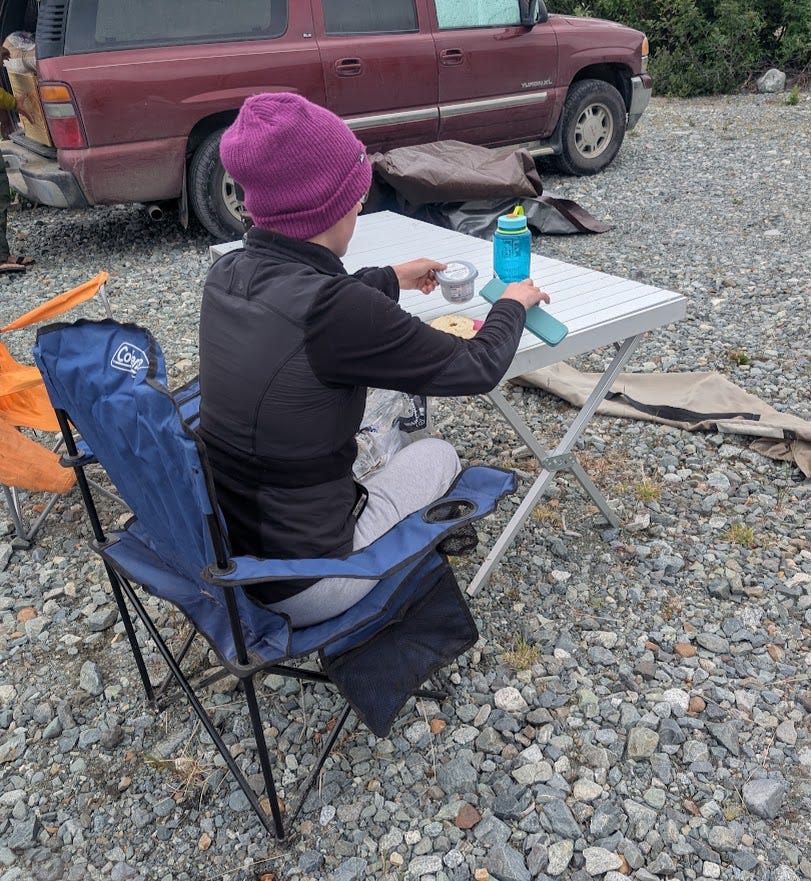
While people were eating, we saw the truck that was parked in the better campsite leave. Quick decision time: could we grab their spot? Clearly, Lacey wasn’t going anywhere soon, so I packed up my tent as fast as possible, threw it in Jules's car, the only one not blocked in and ready to go, and we drove out to the other campsite.
It was still open. I set up my tent in an obvious spot so no one else would be tempted, and we drove back to tell the group the good news.
I have no idea how long it took Lacey to eat her bagel.
By 11 am, the new camp was set up, and we were off to find dry rock. First, we drove back to the Gulkana Glacier area, where we had been just 12 hours earlier. The rain started just south of our campsite as we passed Rainbow Ridge on the Richardson Highway, and it rained hard all the way to the Richardson Monument, which overlooks the Gulkana Glacier Valley.
From the monument, dark clouds were stuck in the valley and everywhere south. It was dumping.
So we turned around and drove north toward the Black Rapids Glacier overlook. Most of the group planned to climb. I was definitely hiking. Cassidy and Jules were hyped to hike, but Cassidy was also stressed about homework after hardly spending any time on it in a week and a half. It’s one of the few times I recommended she not go with me; it wasn’t worth the stress, and we’d be out hiking in the area soon enough. Jules and I decided to drive south again and find somewhere on the edge of the rain to hike, but had no real plan.
As I carried my pack from Cassidy’s car to Jules’s, I dropped one of my full Nalgene bottles, and the thing hit the pavement and split clean in half. All three of us were kind of stunned. I’ve seen broken bottles before, but never like this.
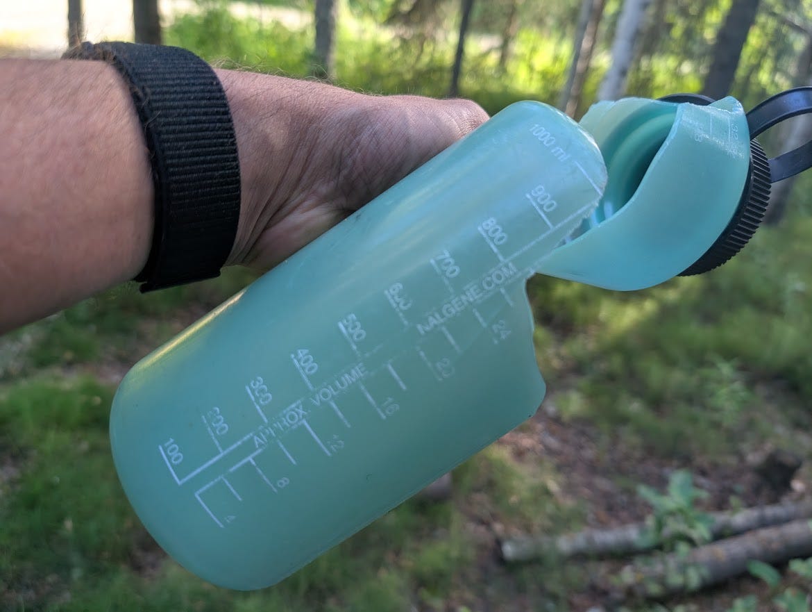
We said bye to Cassidy, letting her know that we’d message her updates through my InReach, and jumped back on the road.
It was about 1:30 as we passed Red Rock Canyon. The sky looked much clearer south past Rainbow Ridge than it did earlier. I chuckled at the thought of it being clear down at the Gulkana Glacier; a few hours earlier it had looked like the kind of rain that wouldn't let up for a day or more.
But it was sunny. So we kept driving.
Jules got excited about the prospect of hiking out to the Gulkana, something she'd been wanting to do for a while. It was starting to look like she'd get to.
We reached the Richardson Monument for the second time that day. Blue skies over the glacier.
As we started, I warned Jules that I probably wasn't going to move very fast. She's a notoriously strong and fast hiker; as I'm writing this, she's out hiking the 27-mile Pinnell Mountain Trail in a day. I was tired from the miles I'd already done, and my body hadn't had time to recover.
The trail hits a single-file suspension bridge early on. It spooks a lot of people, and they take their time crossing. And there were a fair number of people on the trail, so I sped up to get us ahead of everyone. We crossed the bridge and never slowed back down.
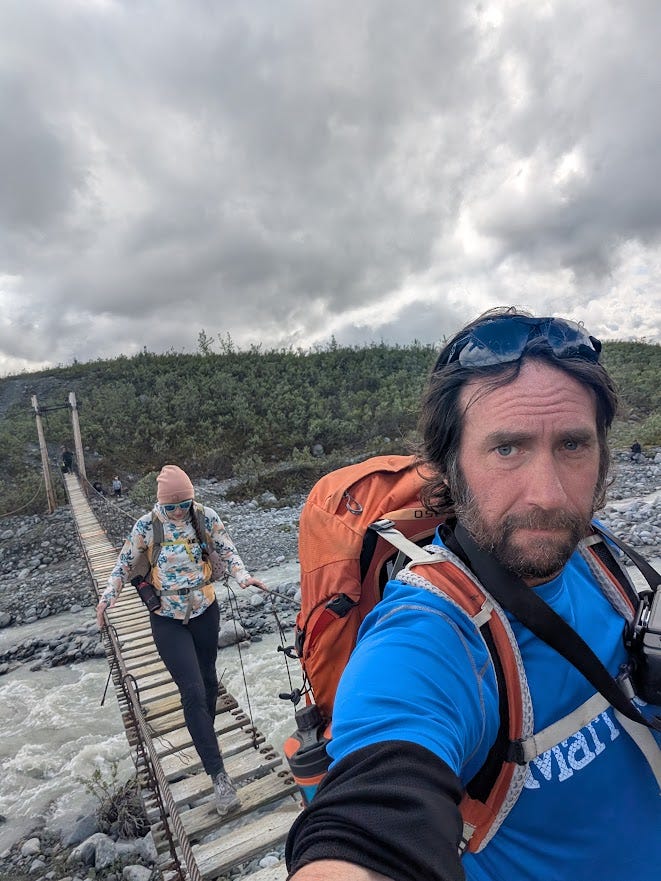
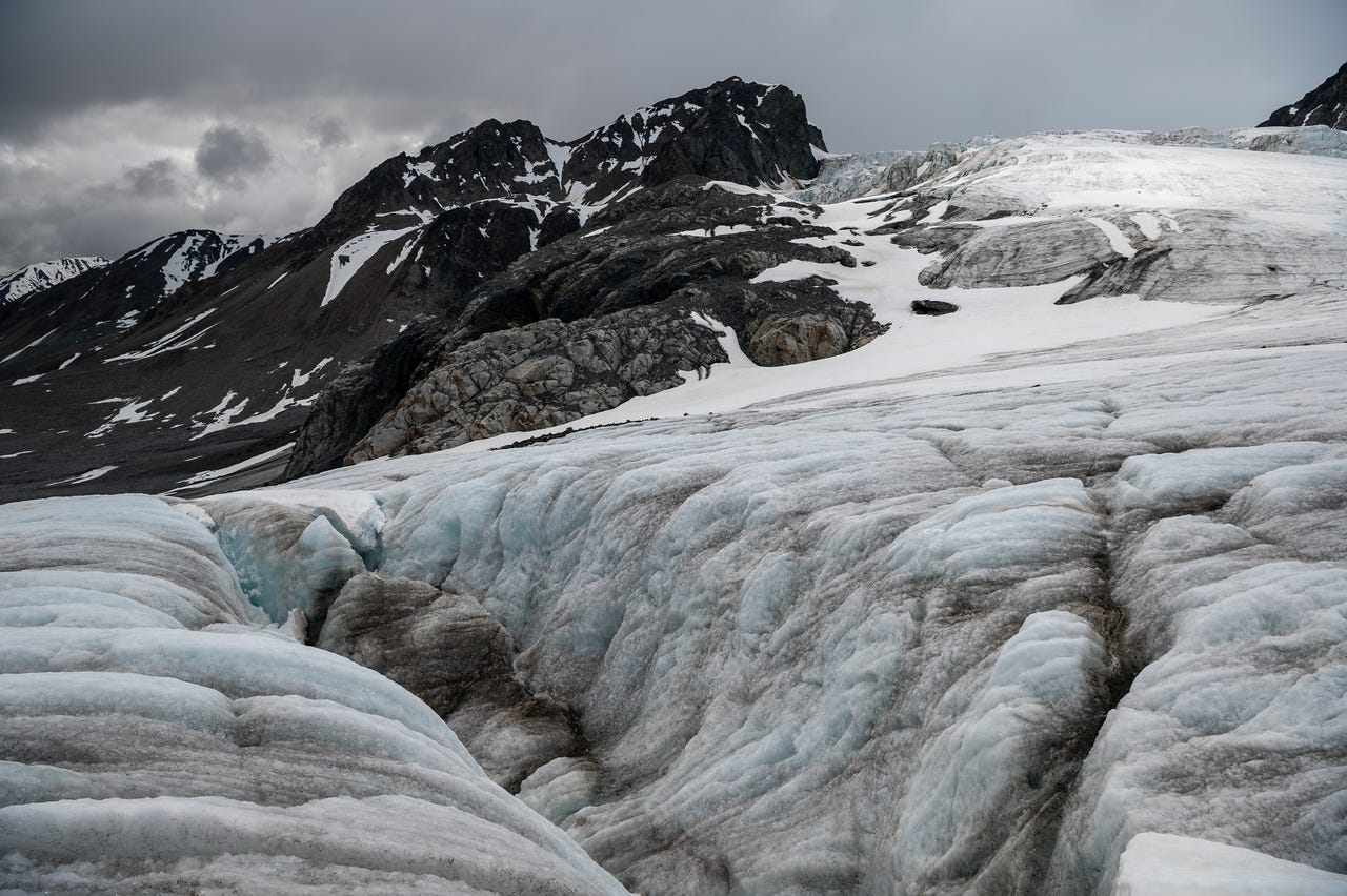
It only took us 45 minutes to get to the glacier toe (about 3 miles from the car). That might be a record for me, definitely a record while hiking with another person. We maintained a steady pace up on the ice too, stopping a few times to look at moulins (video below), and so I could go over glacier dynamics and safety with Jules.
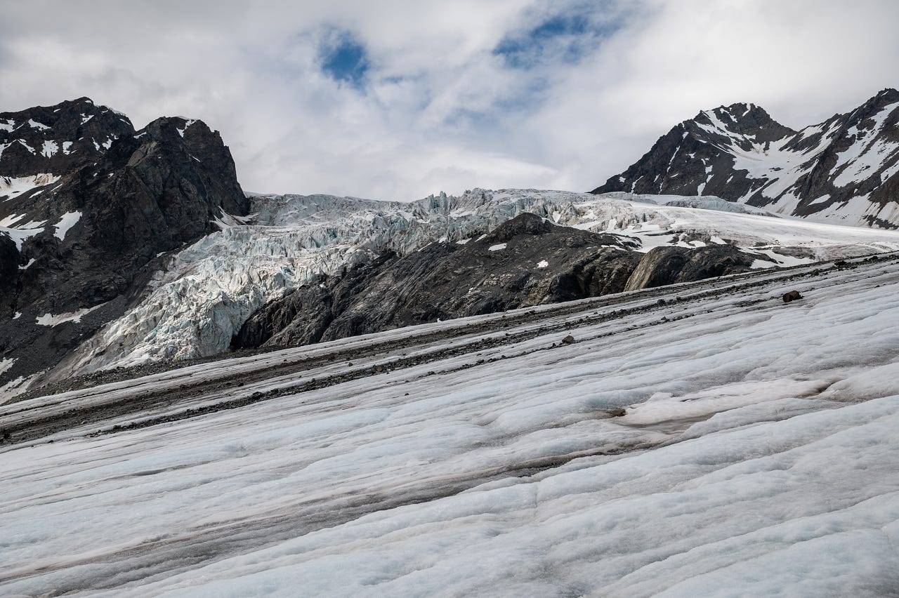
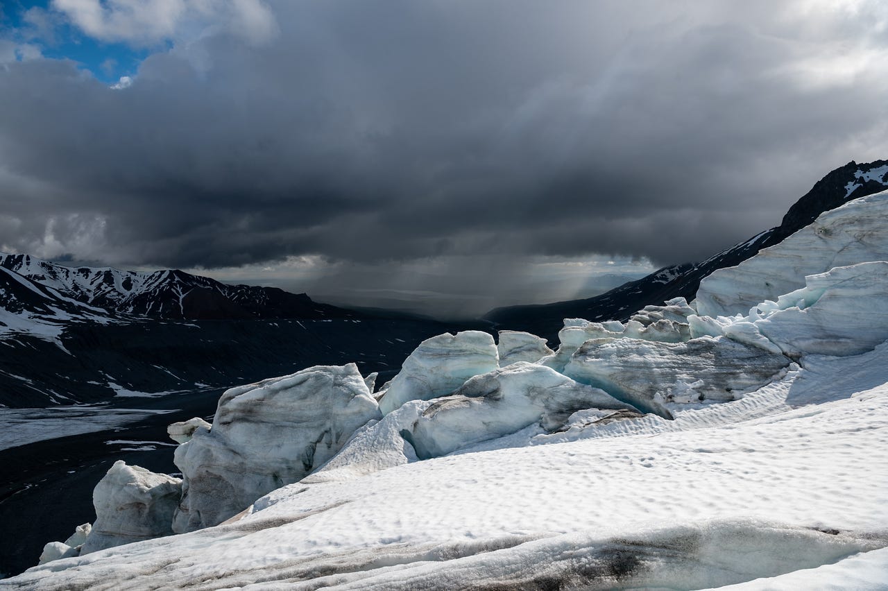
As we moved into the Gabriel Icefall, dark clouds rolled back in and brought scattered showers. Most of the time, it was light enough that we didn’t need to put on rain gear.
I messaged with Cassidy a bit along the way, sending some photos from the glacier through my InReach. She messaged back that she was feeling a little jealous, and it made me feel bad for sending them. I know she really wanted to go. And I really wanted her here. I reassured her that we’d be out here together soon.
The snowline sat right about at the icefall, so we couldn't safely venture much further. The cliffs overlooking the icefall were also shut off by snow. Without ropes or my snow probe, crossing wasn't an option; the area is heavily crevassed. But there was plenty of exposed ice heading up into the glacier, so we put on our microspikes and continued.
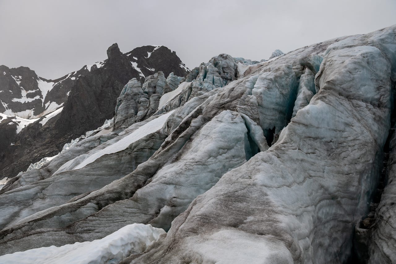
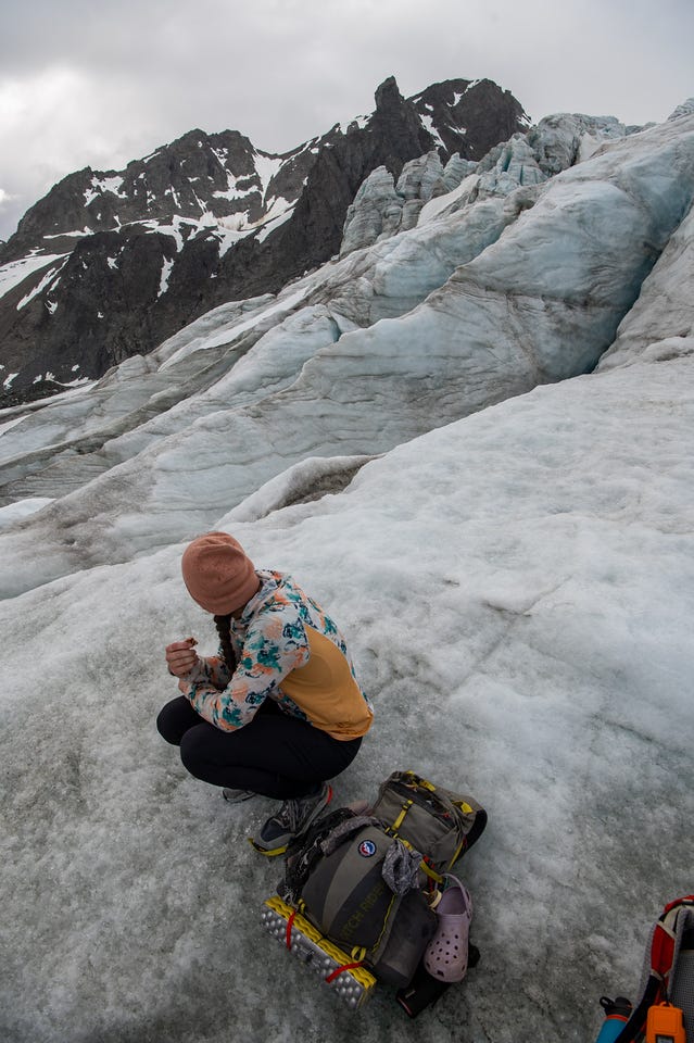
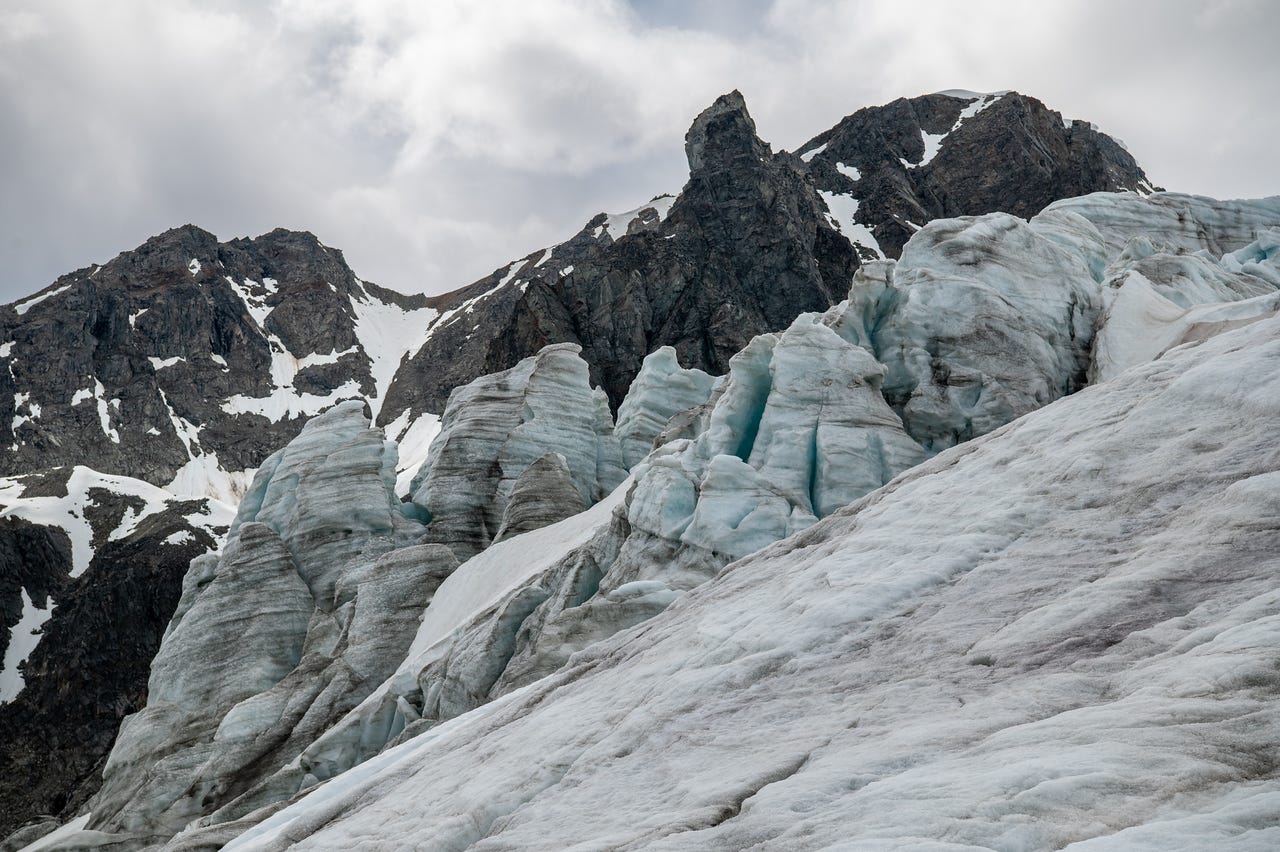
Eventually the snow closed off everything ahead of us. We were overlooking massive ice cliffs, so I made Jules walk out toward the edge to capture the scale in the video below.
We turned around, my third reversal in a day and a half. The sun poked out of the clouds again. The return had some of the most dramatic light I've seen out here.
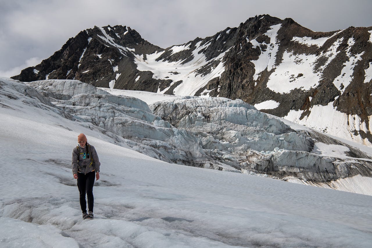
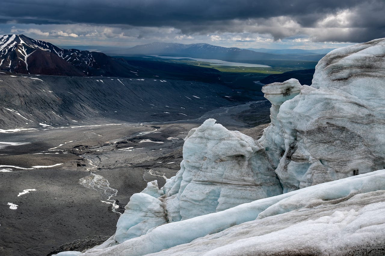
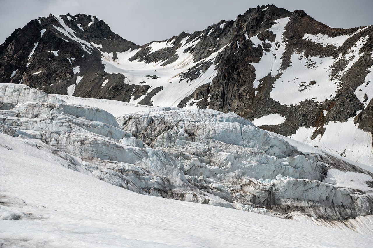
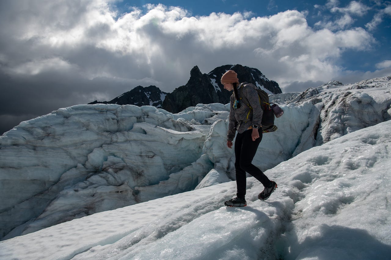
I fell twice while jumping over isothermal snow streams, snow at the melting point all the way through, with no strength left. This was stupid both times; I just misjudged how far it was to the other side, and my heel landed short, going into the slushy snow. At least Jules got a good laugh, and I got the video below, hoping maybe she'd slip too; instead, I got a smug look.
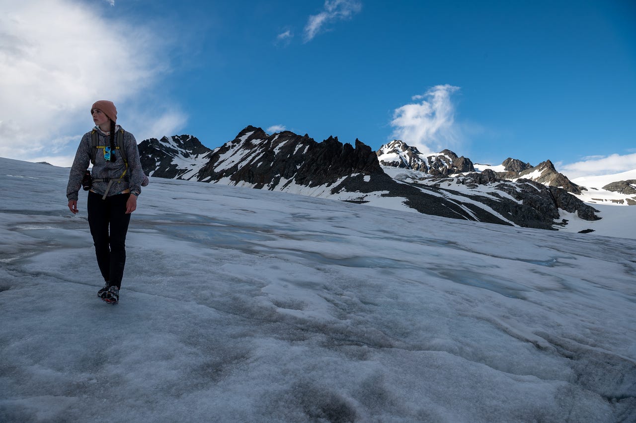
Somehow, I kept up my pace for the return. Maybe I actually slowed down a little, but it felt good to keep moving. The anxiety was mostly quiet for the hike, a welcome change.
That was the end of my walking. Closing out with 28 miles and 6,000 feet of elevation gain in 38 hours.
I checked the forecast while we were driving back to camp. Rain was supposed to set in overnight and continue through most of the next day, our last day out. I suspected I wasn't the only one who'd want to call it early. I didn’t want to spend another wet night out, and then have to pack up a wet campsite in the morning.
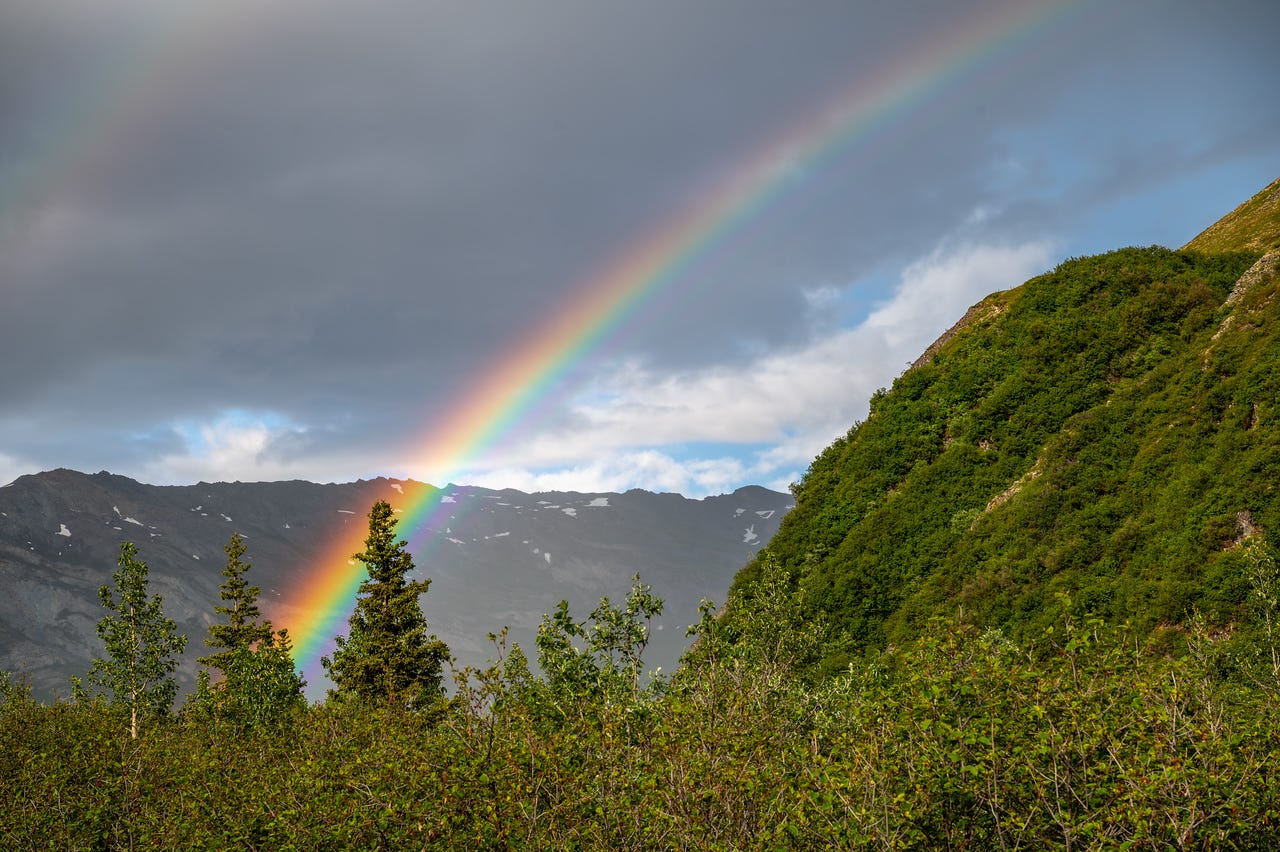
Driving into camp, we were greeted by the rainbow below.
Back at camp, I chatted with Cassidy and Elliott about the weather, and we brought it to the group. After some hesitation, we did agree to leave before the rain set in. With scattered showers already falling, we broke camp, intending to stop somewhere dry to make food on the way back to Fairbanks.
This wasn't the end of a long day; it was the end of the trip. I was sad to be on our way home, but simultaneously relieved. And excited to shower. Looking back, the days all fold into each other, the same way the three hikes folded into one. Turbulence and all, I'd do the whole thing again. And we will. And we'll be out here together soon.