
Late Hike On Mt. Prindle

The first weekend in August, we planned on hiking Granite Tors in the Chena River State Recreation Area. We left slightly later than planned, and smoke from a wildfire across the Nenana River near Clear hung in the air. Checking the air quality, it looked questionable where we were going, about 45 miles outside of town.
But when we arrived, the haze was pretty thick. Deciding it wasn’t worth the hike, especially if the air quality could get worse, we headed back into town to find a place that might be a little better.
Looked like our options were the White Mountains National Recreation Area and Denali National Park. But we wanted to bring the dogs, so we settled on the Whites. Neither Cassidy nor Lucie had done the entire Mt. Prindle hike from Nome Creek, so we drove to Nome Creek.
Cassidy and I had been out here with Elliott, and a couple of the recent grads from Team Ascension backpacked out here in June, but turned back at the tors known as the Windchimes because of both the amount of snow and exhaustion.
Since we already lost some time driving out to Granite Tors and back, we didn’t get to the trailhead until almost 2 pm, determined to make the 16+ mile hike.
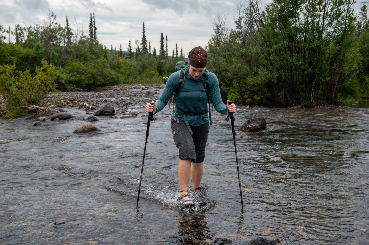
After two creek crossings, we put our shoes on and made our way quickly along the trail. It was drier than earlier in the summer. Mostly.
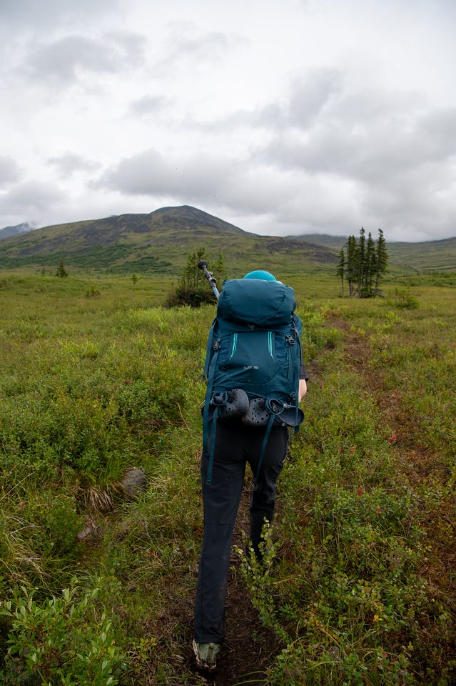
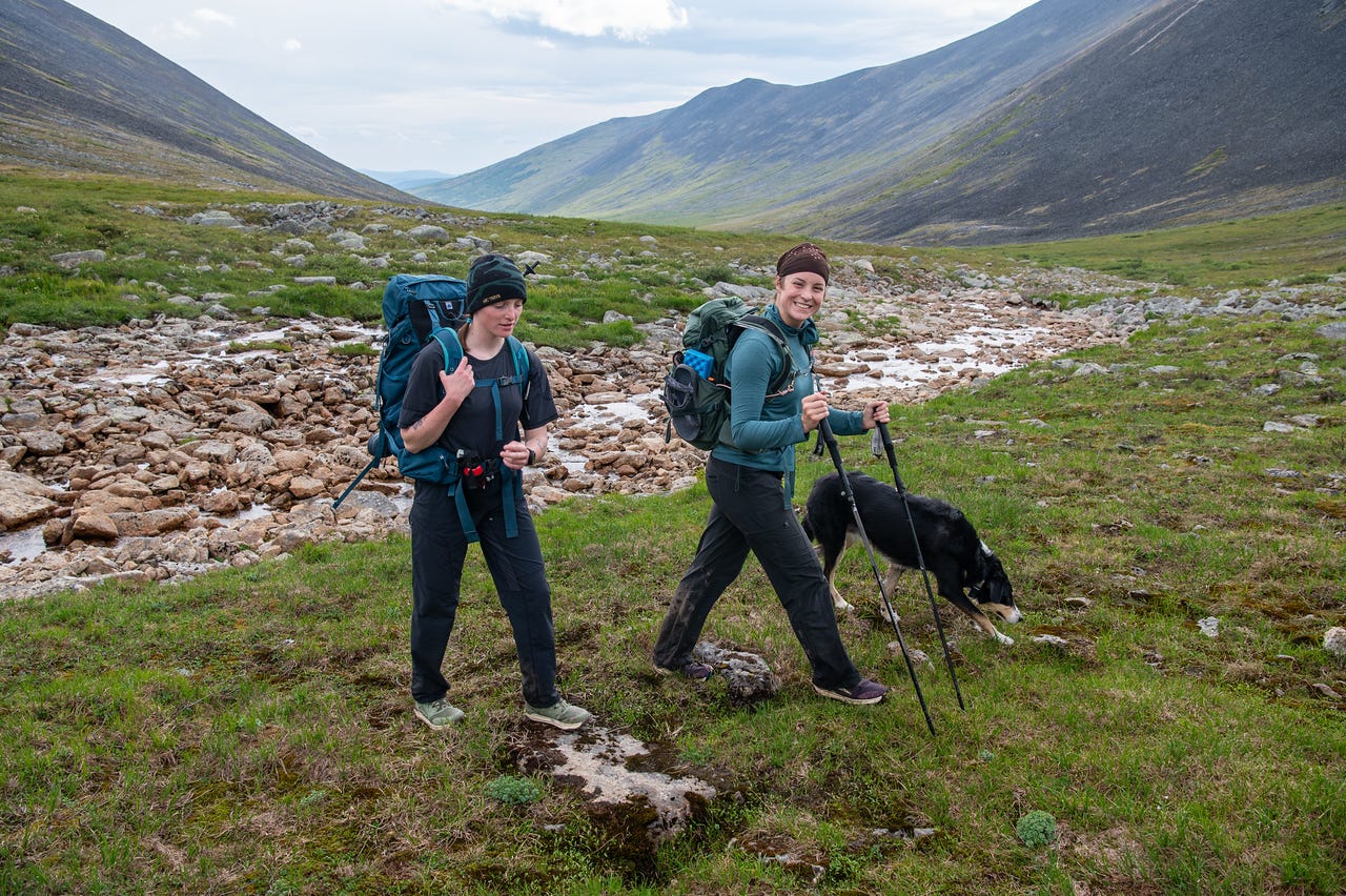
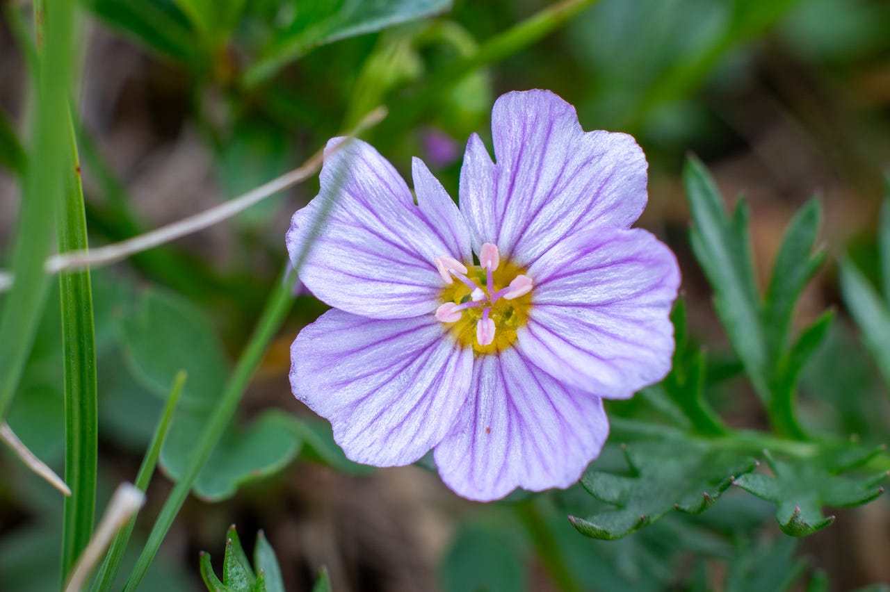
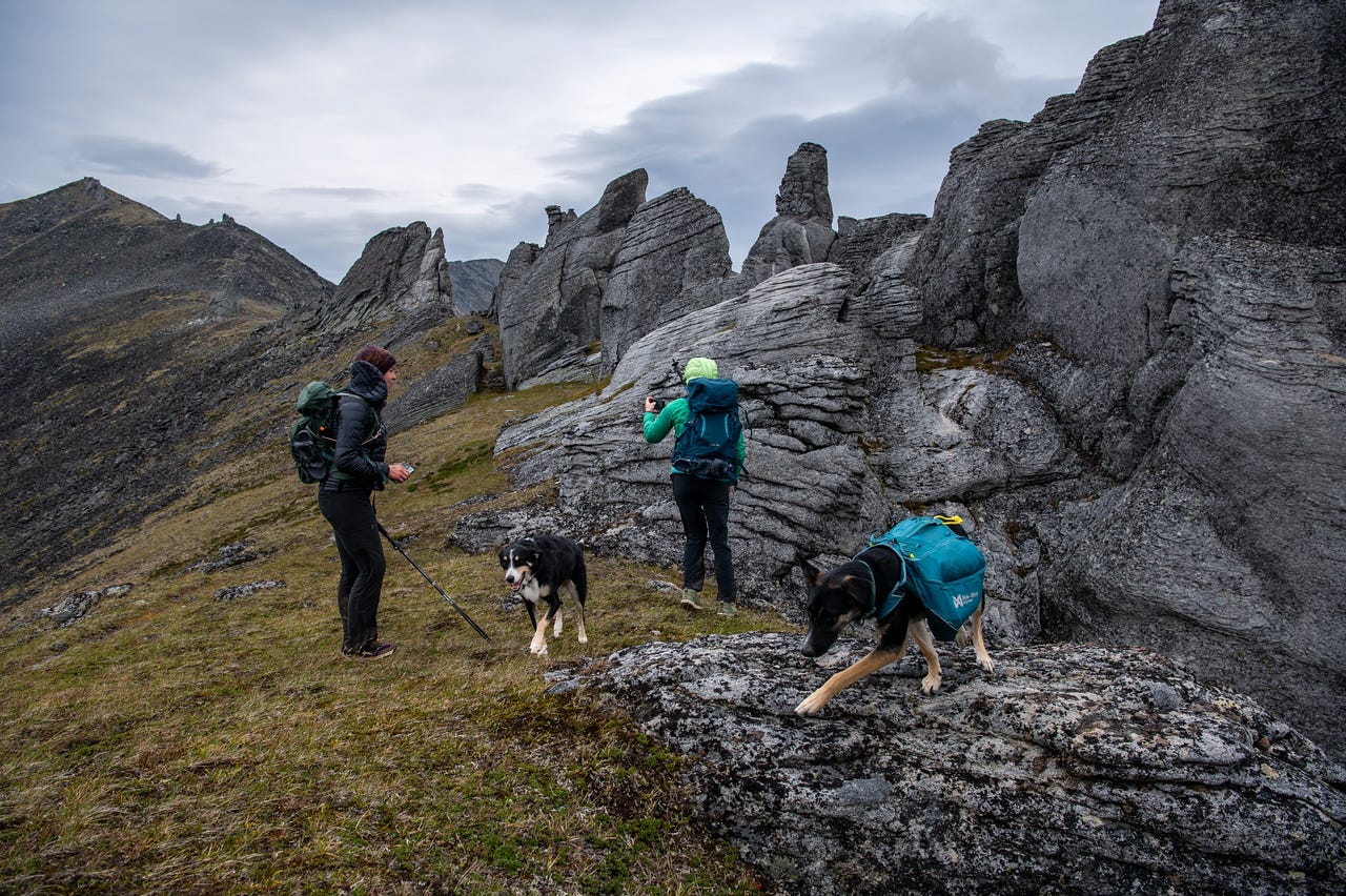
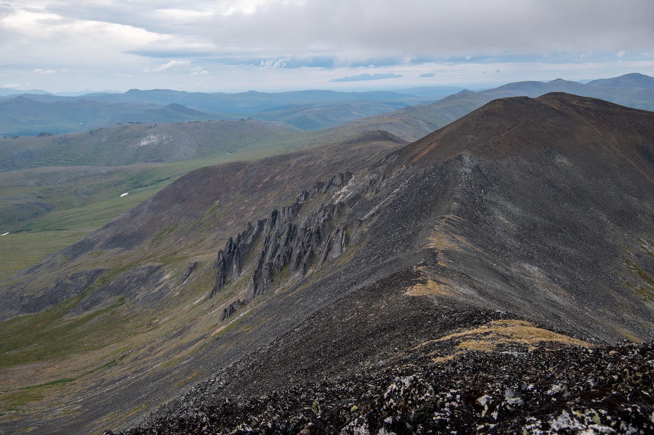
The wind hit us as soon as we reached the first ridge of small tors, only giving us short breaks as we wove between the granite rocks.
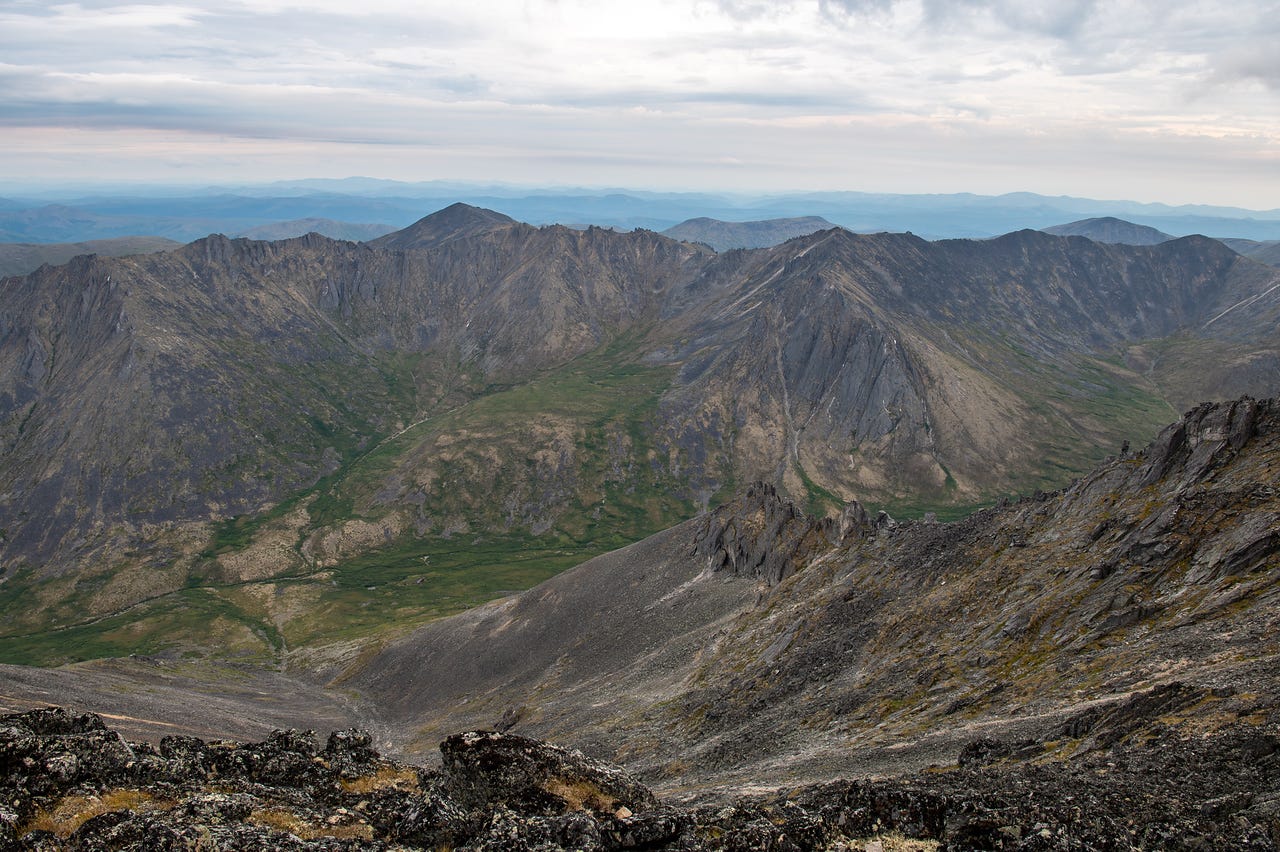
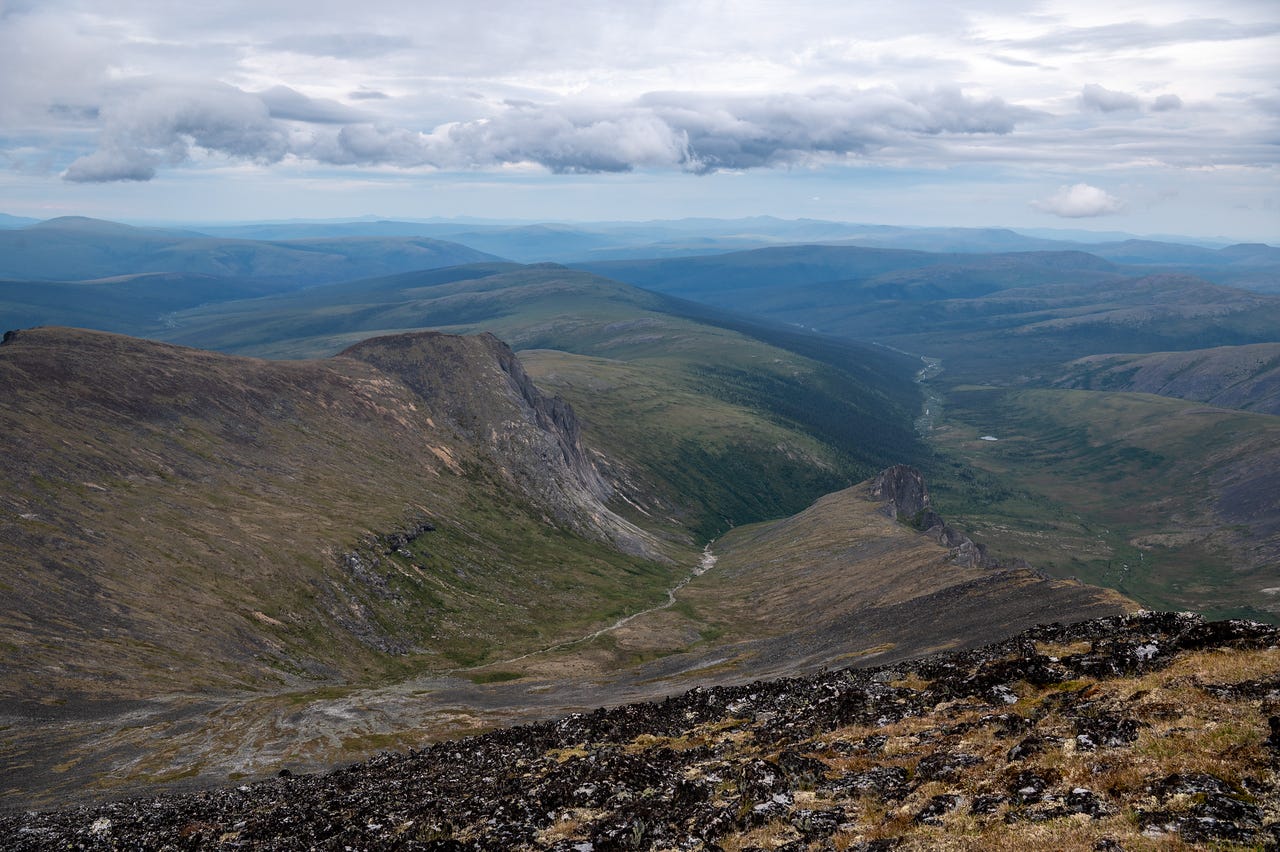
One thing I really love about this hike is how hidden the objective is. The summit of Mt. Prindle is roughly 8 miles in. It’s a granitic pluton and the tallest peak in the one-million-acre White Mountains National Recreation Area, and the first view you get of it is about mile 6, when you are less than two miles from the summit.
Unfortunately, we didn’t get any sun along the ridge, so the light was pretty flat. The wind kept getting stronger as we hiked, too.
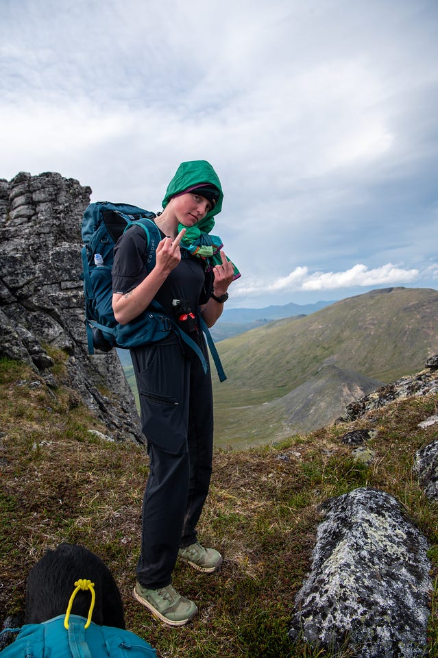
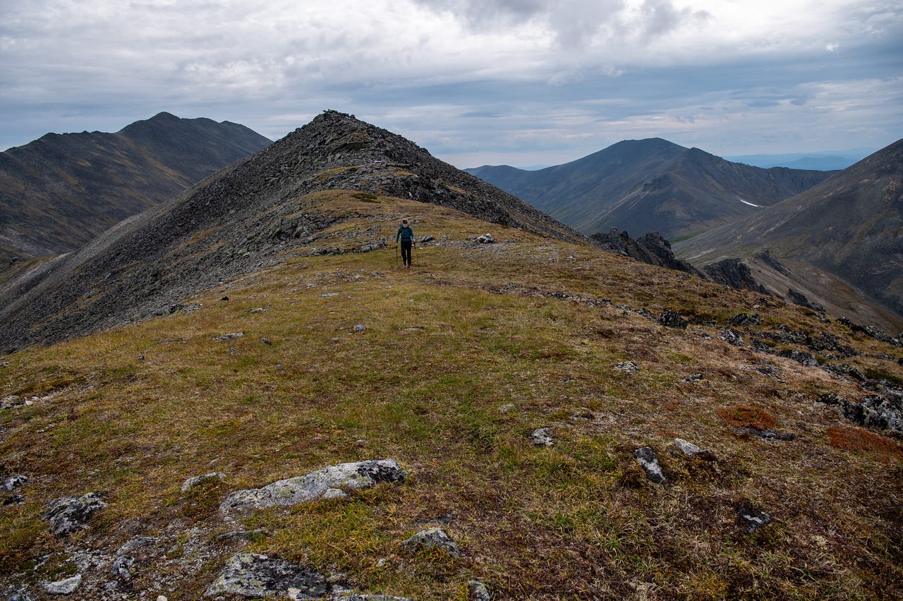
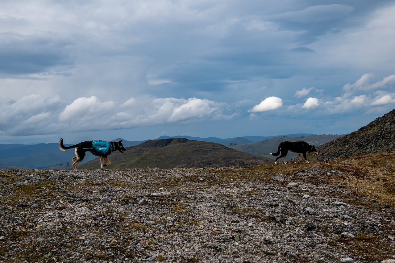
The granite towers of the Windchimes dwarf the first set of tors. We found a windless spot to stop and have our 6 pm “lunch” break, still a little over a mile to go, and another 8 miles to return.
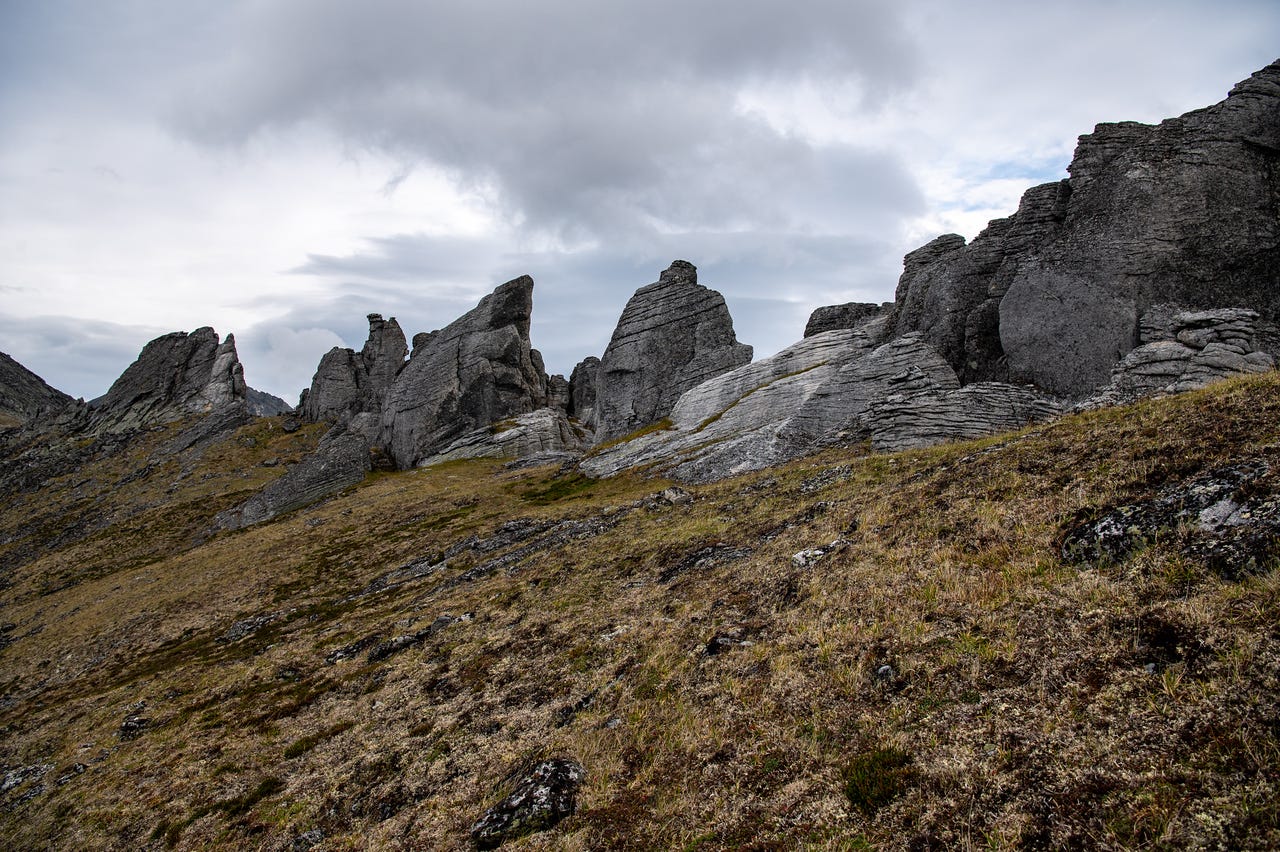
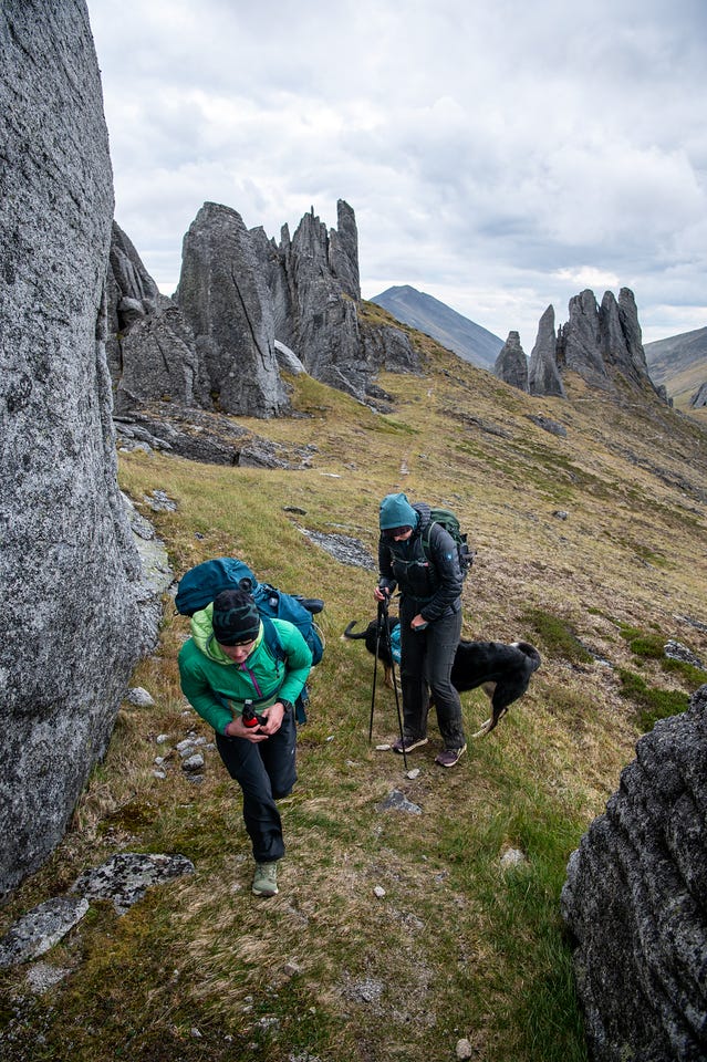
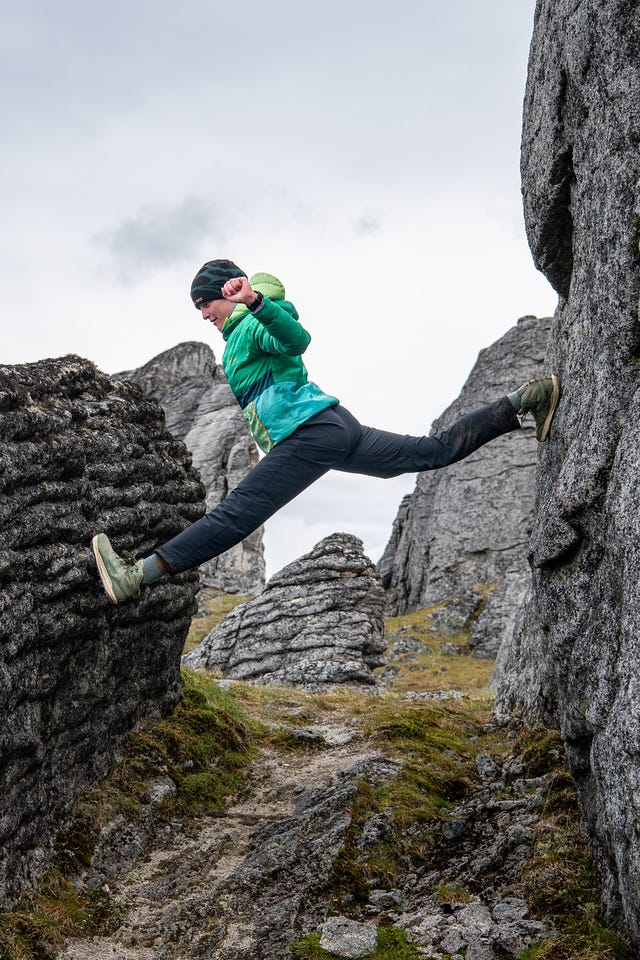
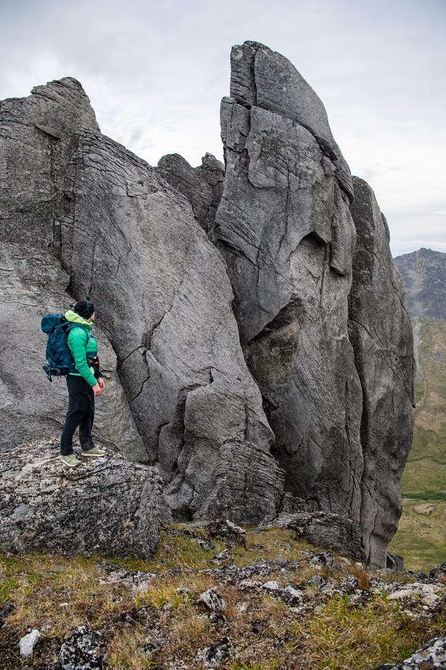
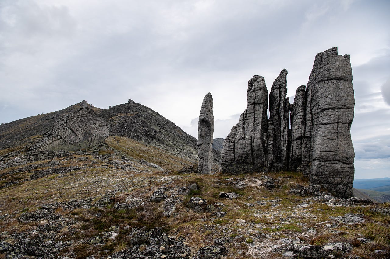
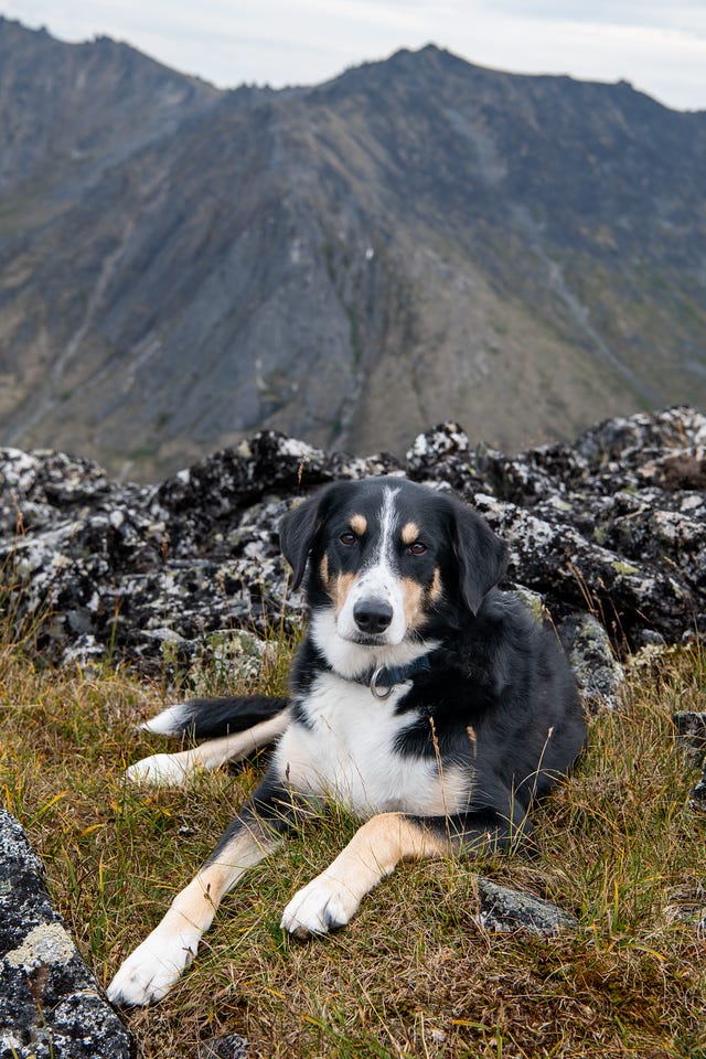
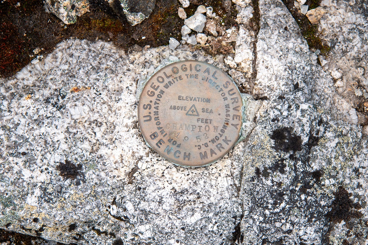
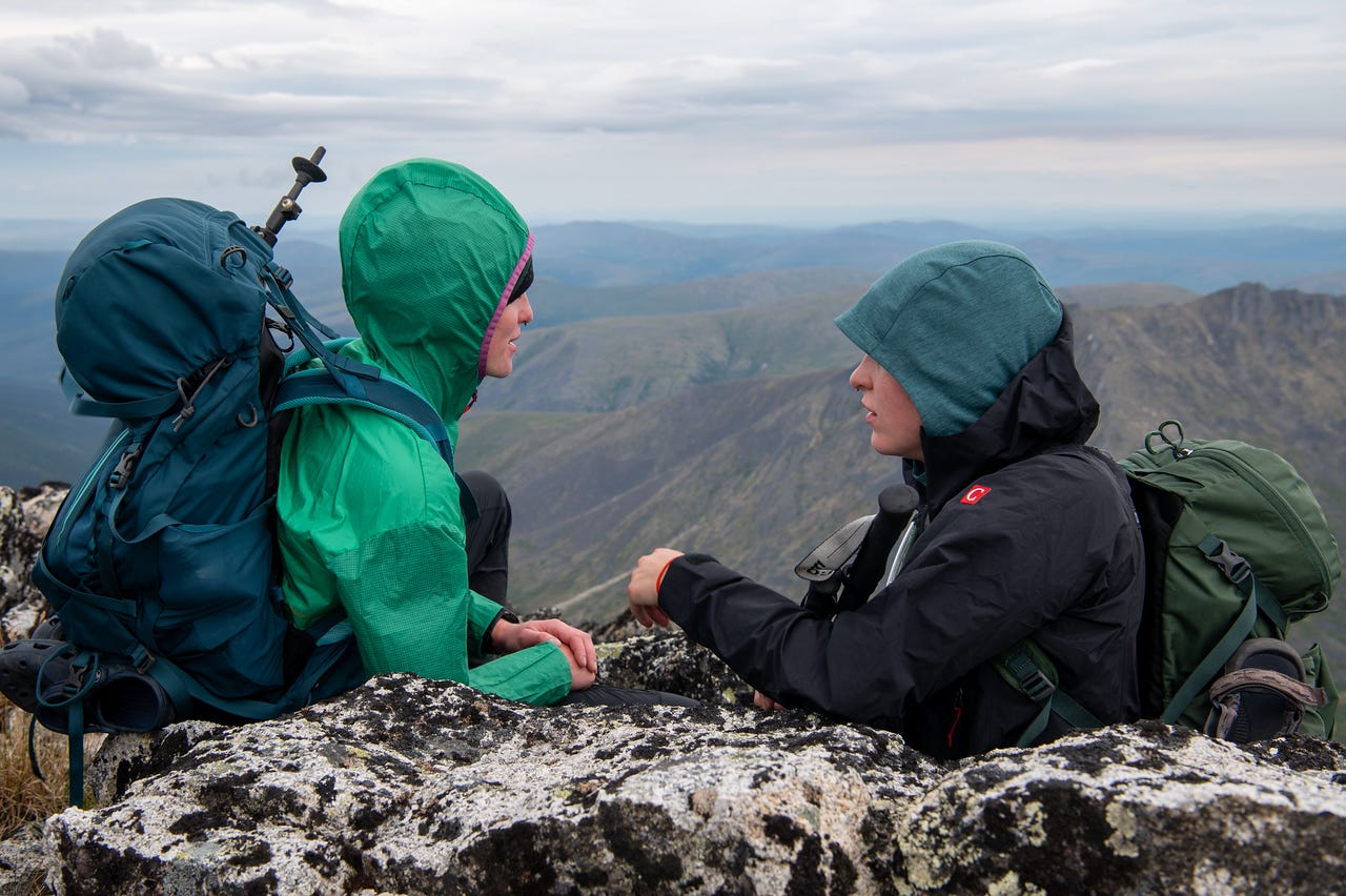
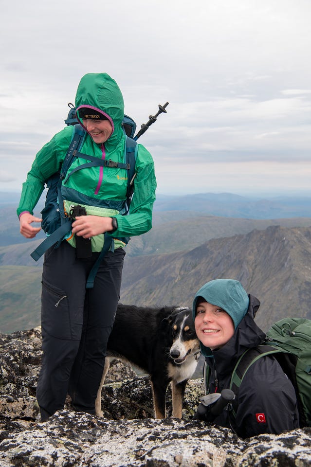
The crazy wind continued at the summit. We stopped for a few minutes to take photos and video, but there isn’t much of a way to shelter from the wind up top, so we didn’t stay for long. We turned around at 7:30 pm, so we had made pretty decent time.
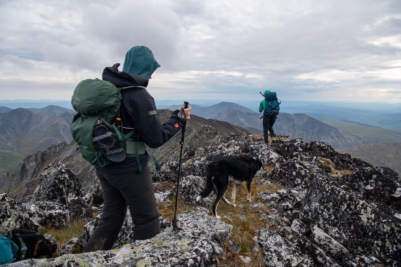
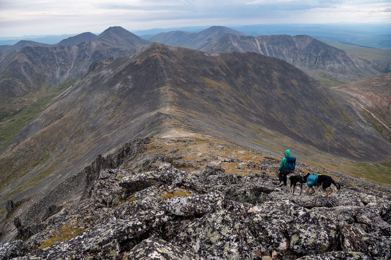
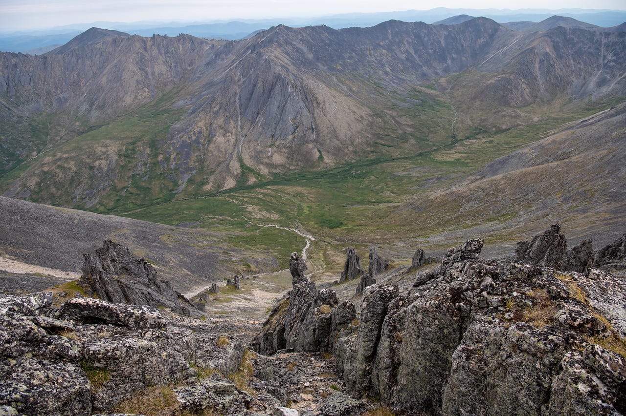
It always feels like the descent should go faster, but it never does. It’s almost entirely downhill, only a couple of climbs for the return, but it’s tough on the joints and the talus is difficult on my feet.
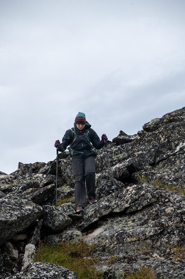
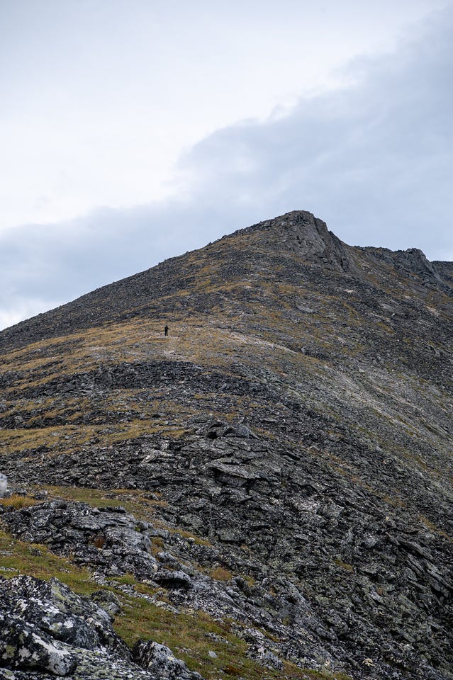
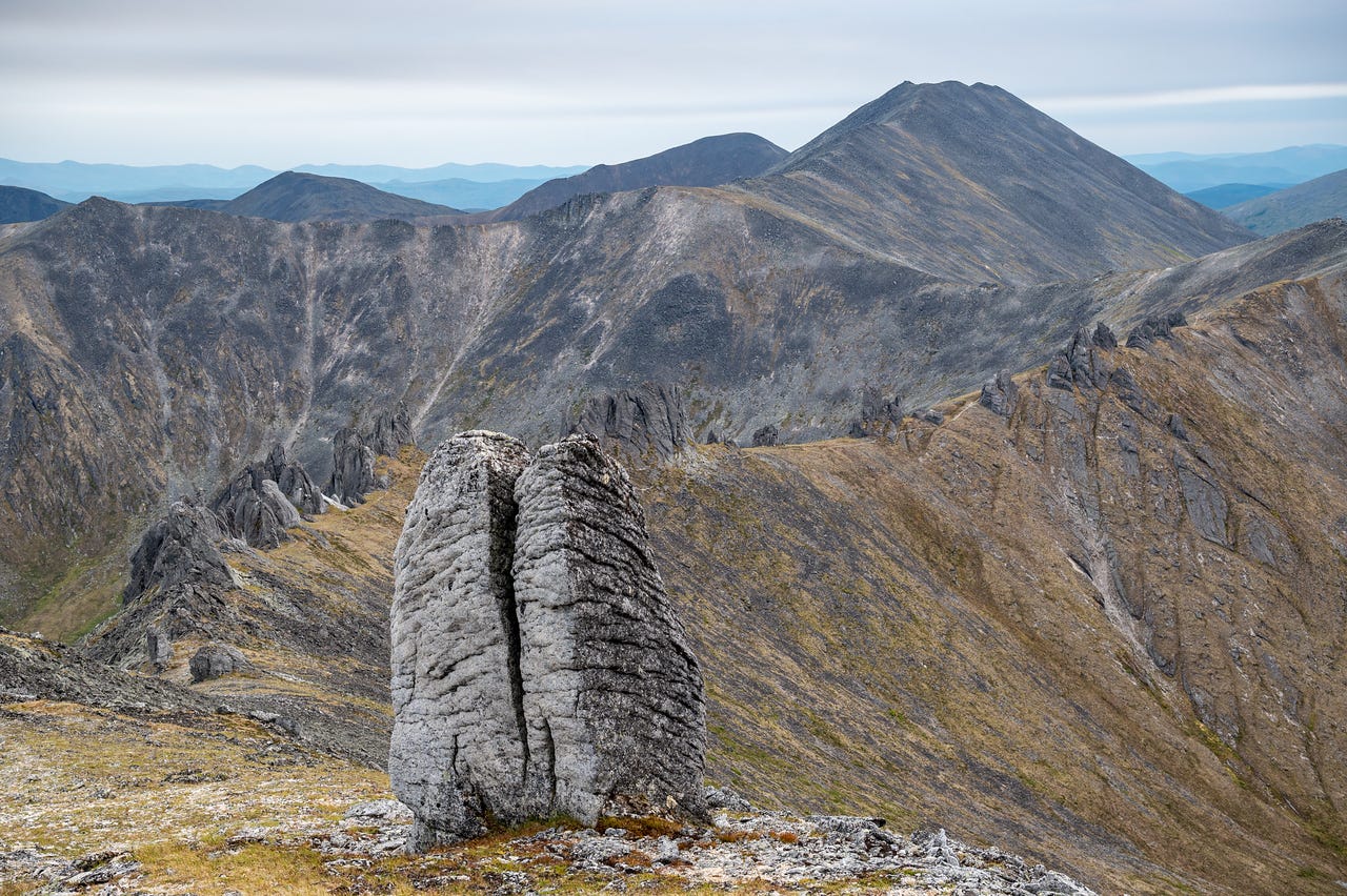
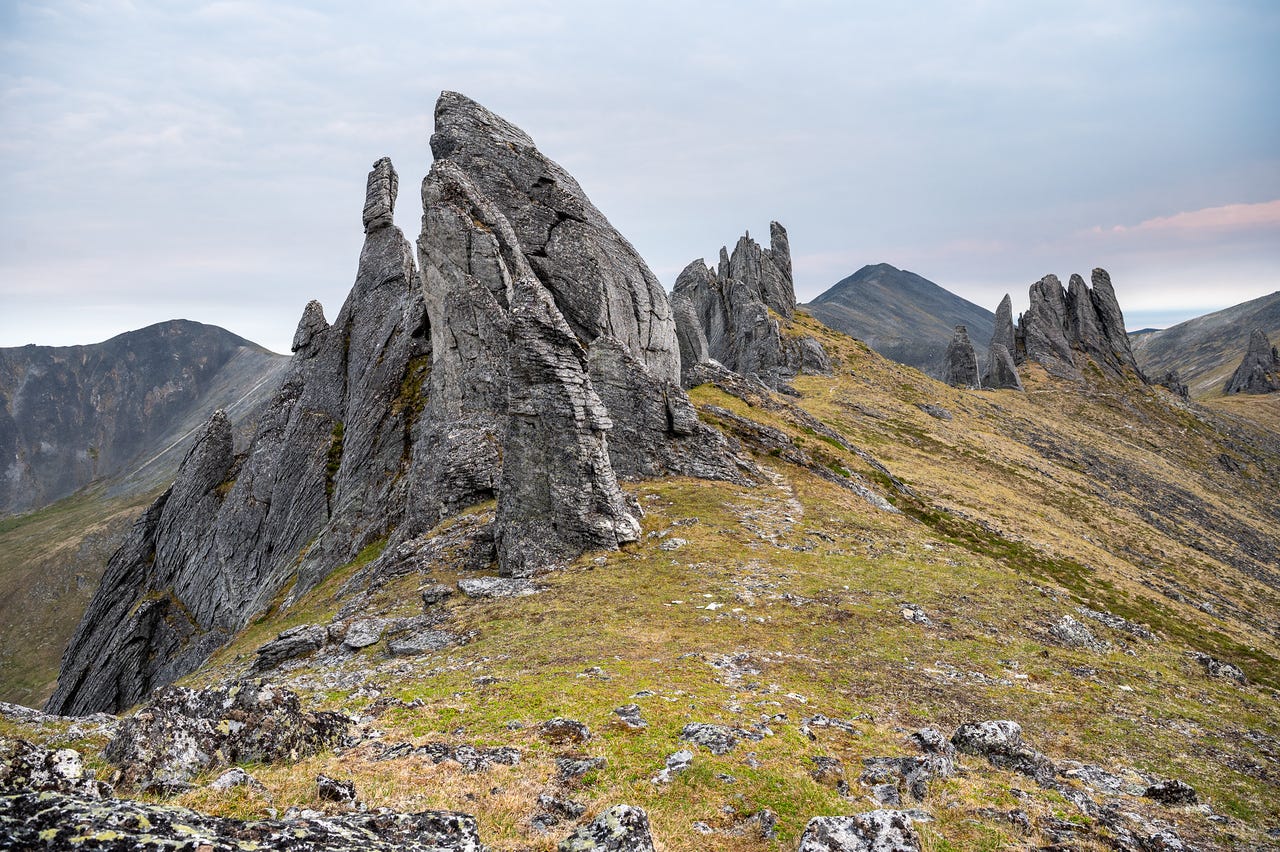
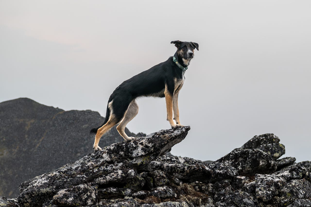
I didn’t take many photos on the return, as we were trying to get back as quickly as possible and it was getting dark. We crossed the creeks and made it back to the car a few minutes before midnight. Cassidy and I were both about 0.2 miles short of 17 miles, so we ran a lap around the campground. It ended up a great hike, especially considering we had no idea that’s what we’d be doing that day.